KOMA LAKE CAMPSITES: Campsite 1 (#1060) - Campsite on north shore of lake
Koma Lake has a hard, sandy bottom which is evident at some of the campsites and when paddling along parts of the shoreline. The lake is on the Kawishiwi River route to Malberg Lake. There are no other routes coming or going from this lake. There is a small lake not too distant from the southwest corner of Koma Lake. This is Fantail Lake. Unknown how difficult the bushwhack is to get back into that lake.
For a relatively small lake, there are a good number of campsites. At the time of last visit, the middle campsite along the north shoreline was not to be found. The campsite nearest to the Malberg Lake portage is small with a rather bland view, but it does have a sand beach/canoe landing. The campsite on the peninsula is the most desirable on the lake, but it is often occupied.
Koma Lake has descent walleye fishing. One notable spot is where the Kawishiwi River flows into the lake. Northern pike are also pretty common in the lake.
Logging roads extended as far north as the southern shores of Koma Lake. The area around this lake saw logging activity until the 1960's (Heinselman, 1999).
References:
Beymer, Robert, Boundary Waters Canoe Area – Volume 2 – Eastern Region (Berkeley: Wilderness Press, 2006), 47, 53, 55, 62, 63, 71, 141, 150.
Heinselman, Miron, The Boundary Waters Wilderness Ecosystem (Minneapolis: University of Minnesota Press, 1999), 116.
Pauly, Daniel, Exploring the Boundary Waters (Minneapolis: University of Minnesota Press, 2005), 238.
Click on the photos below to see the full resolution image - Use your browsers back button to close photo and return to this page.
PADDLING FROM KAWISHIWI RIVER ON SOUTH END OF KOMA LAKE TO THE CAMPSITE ON THE NORTH SHORE
Fairly late in the evening, on a calm night, after exiting the Kawishiwi River, paddle north across Koma Lake keeping closest to its western shoreline. The route proceeds toward the middle point along the north shore on the east side of the long bay. After doing a circle off the point looking for a campsite, continue paddling a bit to the west and land the canoe at the western most of the three campsites that dot the north shoreline. It is late in the evening on an overcast day.
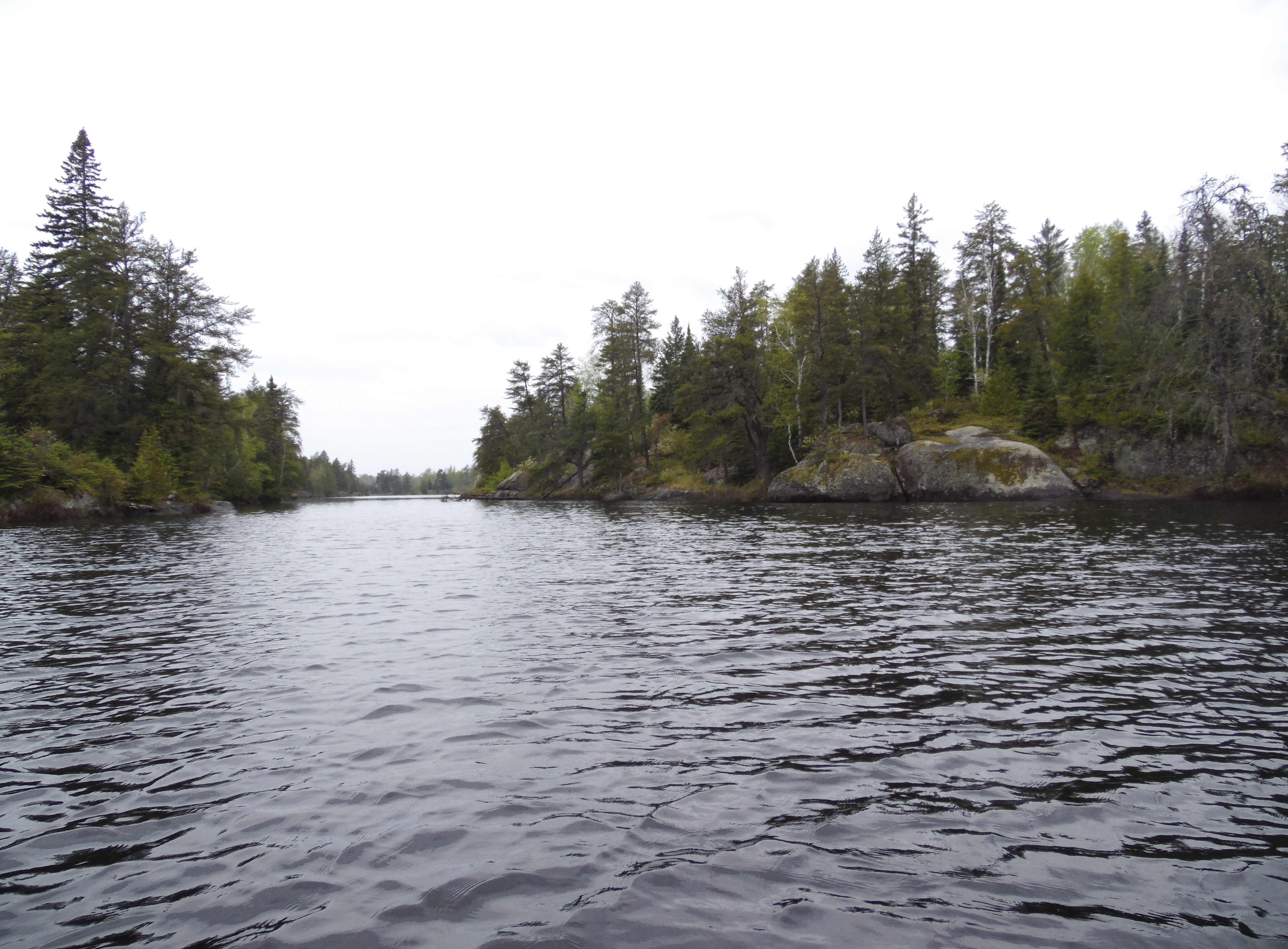
Looking south from the western most of the three campsites along the north shoreline. The other two campsites are difficult to find and/or in rough shape.
A view toward the east from the campsite on the north shoreline. Explore the Campsite -or- Explore Another Route ***********************************************END OF ROUTE***********************************************
PADDLING FROM THE CAMPSITE ON NORTH SHORELINE TO THE MALBERG LAKE PORTAGE
Setting out from camp early in the morning, head west down the shoreline toward the portage leading to Malberg Lake. It's looking like rain...and soon it is rain. This is one of those rains that stays will you the whole day. Pull up to the Malberg Lake portage just above the rapids.
Glancing back toward the south from near the portage to Malberg Lake. Portage to Malberg Lake -or- Explore Another Route ***********************************************END OF ROUTE***********************************************