River Depth: Over 5 feet in places through this section
Fire History: 2011, 1875 and 1863-64
River Length: From its source at Kawishiwi Lake to its mouth at Fall Lake, the river is 75 miles long including 33 miles of distance for the 18 lakes it flows through. The Kawishiwi River drainage covers and area of 1,230 square miles.
Campsites: None
Wildlife Seen on Visit: Bald Eagle, ducks
Last Visited: May 25, 2015
River Elevation: Headwaters at Kawishiwi Lake at 1643 feet. Mouth at Fall Lake at 1319 feet. From Kawishiwi Lake to Square Lake the river drops one foot of elevation from 1643 feet to 1642 feet
Water Clarity: N/A
ROUTES/PORTAGES FROM THE KAWISHIWI RIVER:
To Kawishiwi Lake: Paddle In
To Square Lake: Paddle In
Kawishiwi River (between Kawishiwi Lake and Square Lake)
This is the first section of the Kawishiwi River. This river passes through many lakes and winds for 75 miles from its headwaters in Kawishiwi Lake.
The name of this river comes from the Ojibway language. Kawishiwi translates roughly to mean "the river of beaver lodges". There were at least four beaver lodges in the stretch of river between Kawishiwi Lake and Square Lake in 2015.
This river between Kawishiwi Lake and Square Lake is relatively shallow. There is little current. The river starts out fairly wide at Kawishiwi Lake and quickly narrows for the rest of the way to Square Lake. Most of the time it is less than 40 feet across. There are beaver lodges along this section, but no beaver dams in 2015. Along this stretch, the banks of the river are covered by marshland.
Expect a fair amount of canoe traffic through this section as all traffic coming to and from Entry Point 37 - Kawishiwi Lake must pass through here unless paddlers are spending their entire trip on Kawishiwi Lake.
As you approach Square Lake, evidence of the 2011 Pagami Creek Fire will become evident, just as you make the left turn into Square Lake.
Traveling the Kawishiwi River between Kawishiwi Lake and Square Lake (downstream)
Click on the photos below to see the full resolution image - Use your browsers back button to close photo and return to this page.
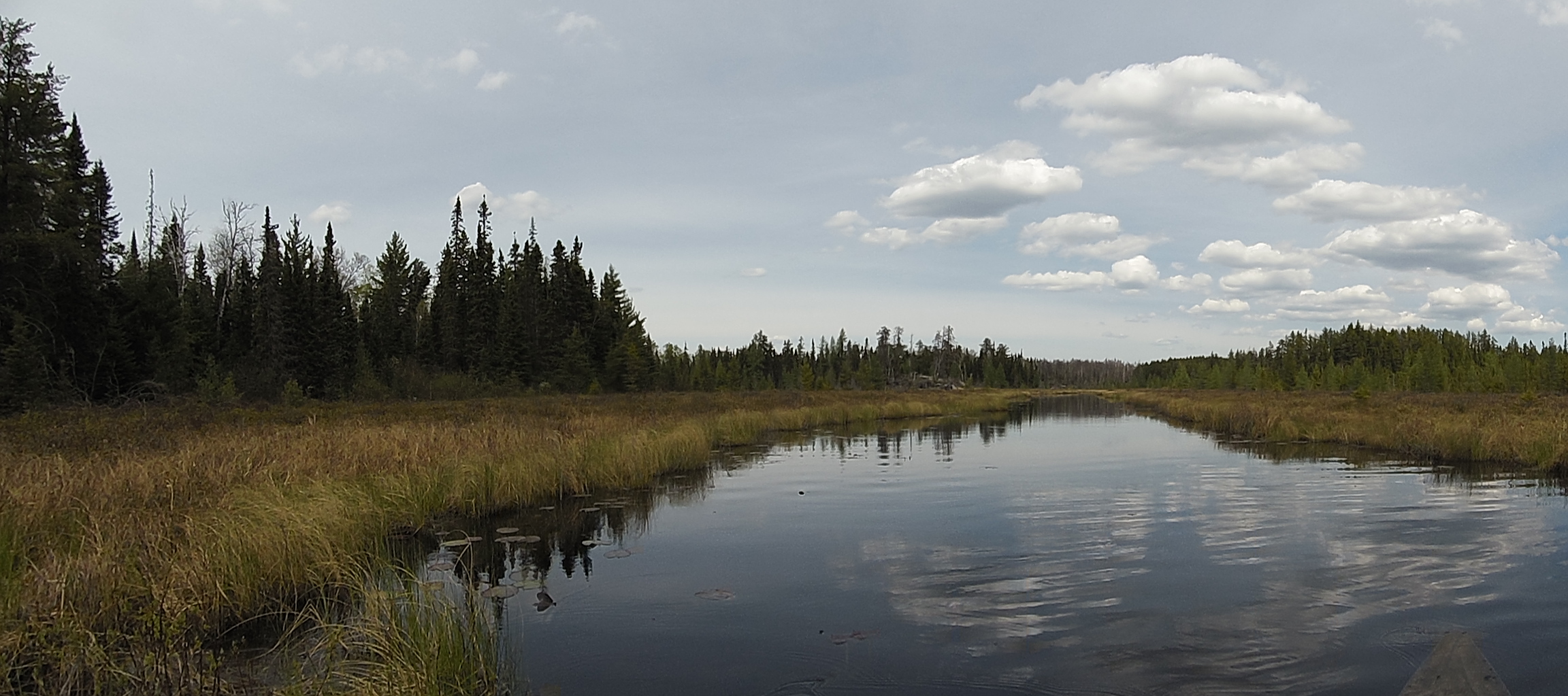
A typical view you will see along the Kawishiwi River, between Kawishiwi Lake and Square Lake.
A nice day, with partly cloudy skies and very little wind along the Kawishiwi River.
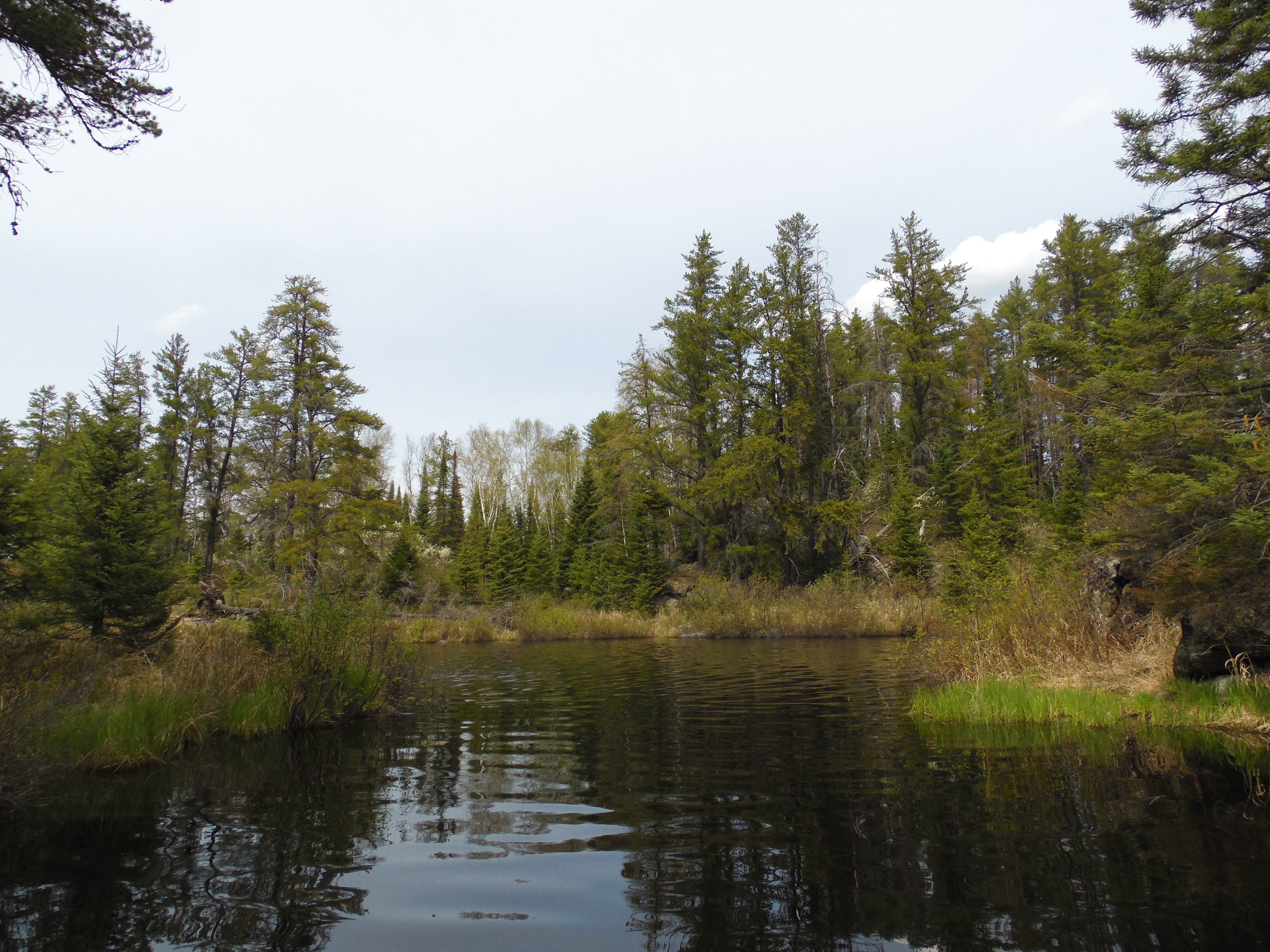
Paddling downstream along the Kawishiwi River from Kawishiwi Lake to Square Lake. You reach the area affected by the 2011 Pagami Creek Fire as you near Square Lake.
You are approaching Square Lake. The river narrows a bit just ahead and makes a sharp left turn into Square Lake. The trees in this area and along the south shore of Square Lake are the last large groves of living trees you will see along this route until you reach Lake Polly.
Route Connections for Kawishiwi River (between Kawishiwi Lake and Square Lake)