LITTLE GABBRO LAKE CAMPSITES: Campsite 1: East side of north channel leading to Dam Number 1 Campsite 2: West side of north channel leading to Dam Number 1 Campsite 3: Just north of BWCA Entry Point 33 portage
The lake is named for a type of igneous (volcanic) rock known as gabbro.
There are the remains of two old dams on the north end of the lake which were used to support logging operations in the area; probably the St. Croix Lumber Company used them. The dam in the west channel consisted of a large rectangular container made of heavy logs that was sunk to the bottom and filled with rocks (Heinselman, 1999). This construction is still in place, but now allows water to flow through. The flowage through the western channel is much less than that going through the eastern channel. This is shown as Dam No. 2 on maps. There is no portage around this dam.
The old dam in the east channel can be reached by a 122 rod portage that goes between Little Gabbro Lake and the South Kawishiwi River. There is a strong flow through this channel as it passes through a gorge. Good views of the old dam and rapids are visible from the portage. This dam was built of log pens held together by massive steel spikes. The pens were sunk in the channel and filled with rocks. The dam is breached in the middle, but the old log construction and most of the rocks are still here (Heinselman, 1999). This is shown as Dam No. 1 on maps.
The lake supports three campsites. There is a fourth campsite in the channel between Little Gabbro Lake and Gabbro Lake. This campsite is located upstream of an area of strong current at a pinch point along this channel, so it probably belongs with Gabbro Lake.
Water flows from Gabbro Lake into Little Gabbro Lake (this may actually still be considered the Isabella River, but haven't been able to confirm). Little Gabbro Lake drains out its two north channels into the South Kawishiwi River (again, this may be the Isabella River). Nickel Creek also flows into Little Gabbro Lake at its south tip.
Logging was prevalent in this area from 1954 well into the early 1970's. The access road to the Little Gabbro Lake entry point was originally built to facilitate logging operations and was constructed around 1958 (Heinselman, 1999). This logging removed much of the evidence of the historic fires that occurred in the 1800's.
A forest fire started on northeast shore of Little Gabbro Lake near the channel to Gabbro Lake on June 6, 1995. The cause was a lightning strike. Fire spread to the northeast over to the Clearwater Lake area. The entire fire affected approximately 12,000 acres. Source article.
Click on the photos below to see the full resolution image - Use your browsers back button to close photo and return to this page.
PADDLING FROM BWCA ENTRY POINT 33 PORTAGE TO GABBRO LAKE
An evening paddle from the channel that joins Gabbro Lake and Little Gabbro Lake to the BWCA Entry Point 33 landing. Paddle Gabbro Lake -or- Explore Another Route ***********************************************END OF ROUTE***********************************************
PADDLING FROM GABBRO LAKE TO THE BWCA ENTRY POINT 33 PORTAGE
Paddling across Little Gabbro Lake from BWCA Entry Point 33 portage landing to Gabbro Lake. Portage to BWCA Entry Point 33 parking lot -or- Explore Another Route ***********************************************END OF ROUTE***********************************************
PADDLING FROM BWCA ENTRY POINT 33 PORTAGE TO THE BRUIN LAKE PORTAGE
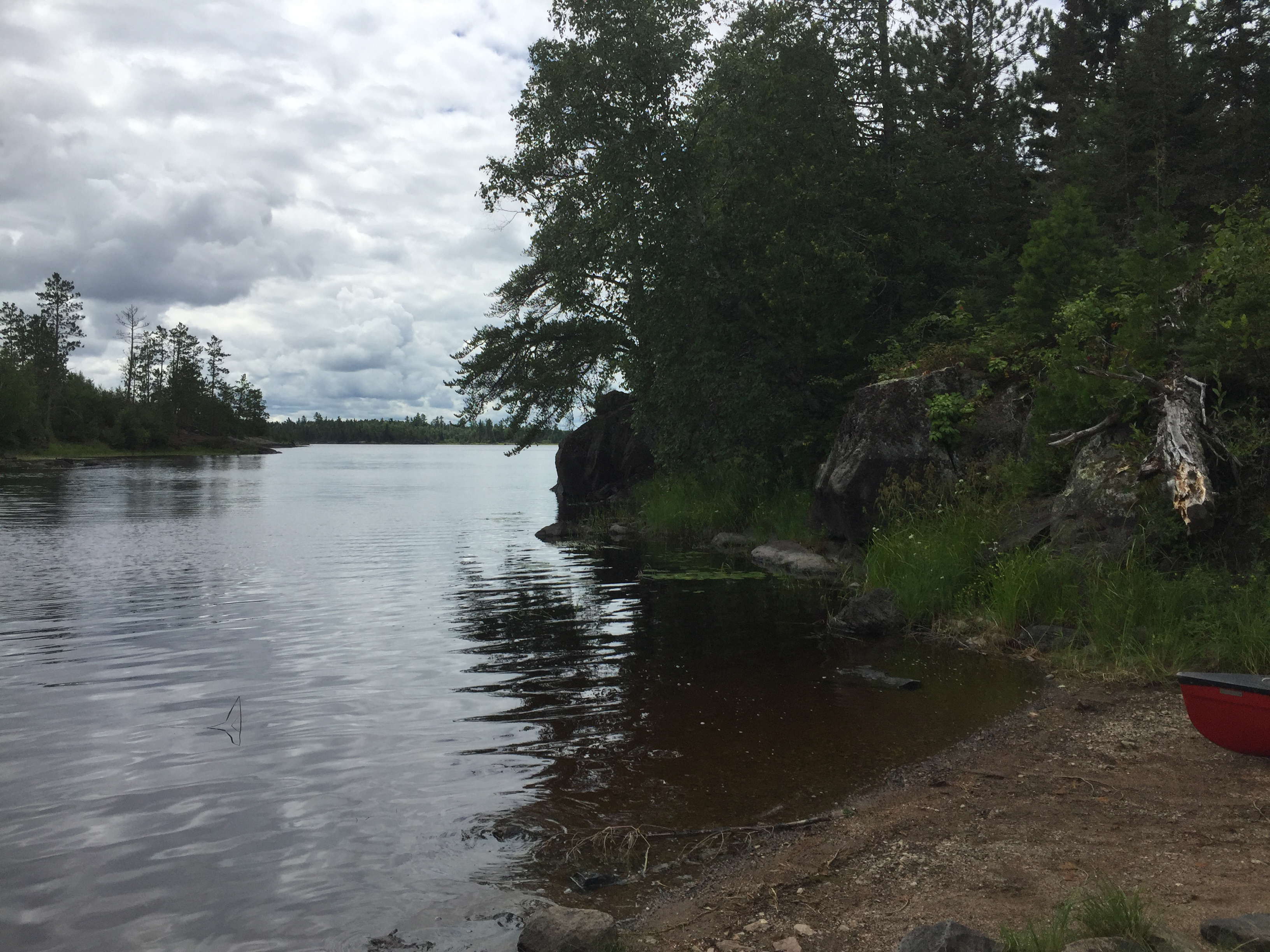
The long portage from the entry point parking lot leads to this shallow bay. Parts of this portage were originally part of a logging road that ran down to the lake. There is a campsite on that point to the left. Gabbro Lake is pretty much directly across the lake from here.
Paddling across Little Gabbro Lake from the BWCA Entry Point 33 portage over to the Bruin Lake portage.
Another shallow bay provides access to the Bruin Lake portage which is 281 rods long. The landing for that portage is visible at your feet to your left. Portage to Bruin Lake -or- Explore Another Route ***********************************************END OF ROUTE***********************************************
PADDLING FROM THE BRUIN LAKE PORTAGE TO BWCA CAMPSITE 1707
Paddling across Little Gabbro Lake from the Bruin Lake portage over to the campsite on the east point at the mouth of the northeast channel of the lake. Visit the Campsite -or- Explore Another Route ***********************************************END OF ROUTE***********************************************
PADDLING FROM BWCA CAMPSITE 1707 TO BWCA CAMPSITE 1706
Towards the right of your view you can make out the remains of an old dam sticking out from the opposite shore. This is shown as Dam #1 on most maps. This is your view from the start of the portage leading to the South Kawishiwi River. The portage provides some nice overlooks of this dam and the associated rapids. (See the portage link for video and photos of the dam.)
A quick paddle across the northeastern channel of Little Gabbro Lake from the campsite on the eastern side to the campsite on the west side of the channel. The campsite on the west side of the channel is just south of the 122 rod South Kawishiwi River portage Visit the Campsite -or- Explore Another Route ***********************************************END OF ROUTE***********************************************
PADDLING FROM BWCA CAMPSITE 1706 TO THE SOUTH KAWISHIWI RIVER PORTAGE
From the campsite on the west side of the northeast channel of Little Gabbro Lake, you make a short paddle north up the shoreline and come to the start of the portage leading to the South Kawishiwi River.
A look toward the south from the South Kawishiwi River portage. The dam known as Dam Number One is over your left shoulder and out of view from this perspective. Portage to the South Kawishiwi River -or- Explore Another Route ***********************************************END OF ROUTE***********************************************
PADDLING FROM NEAR THE NORTHEAST CHANNEL TO THE MOUTH OF NICKEL CREEK
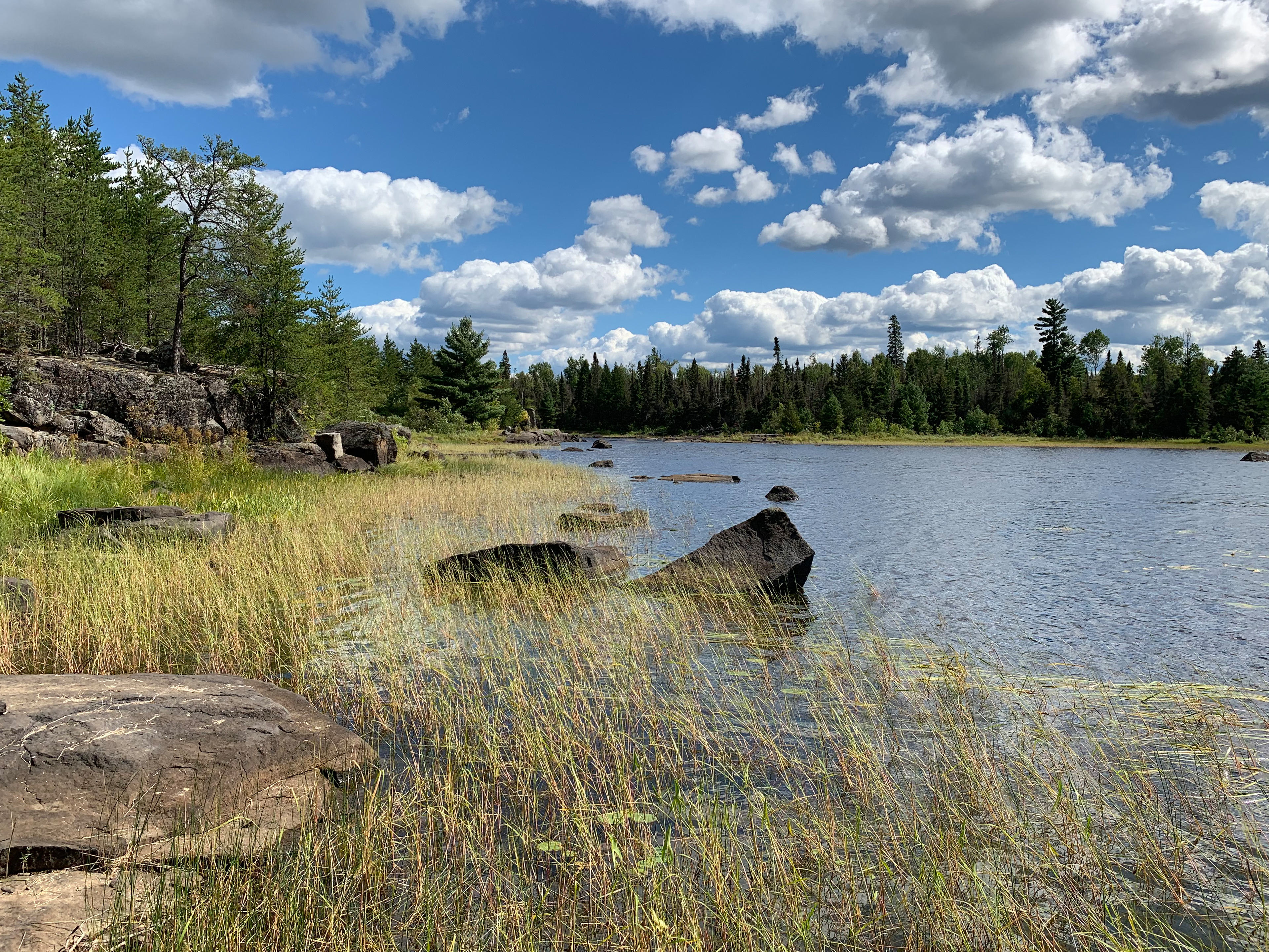
Paddling through Little Gabbro Lake from near the mouth of the northeast channel over to the mouth of Nickel Creek. This is found at the back of one of the southern bays on Little Gabbro Lake.
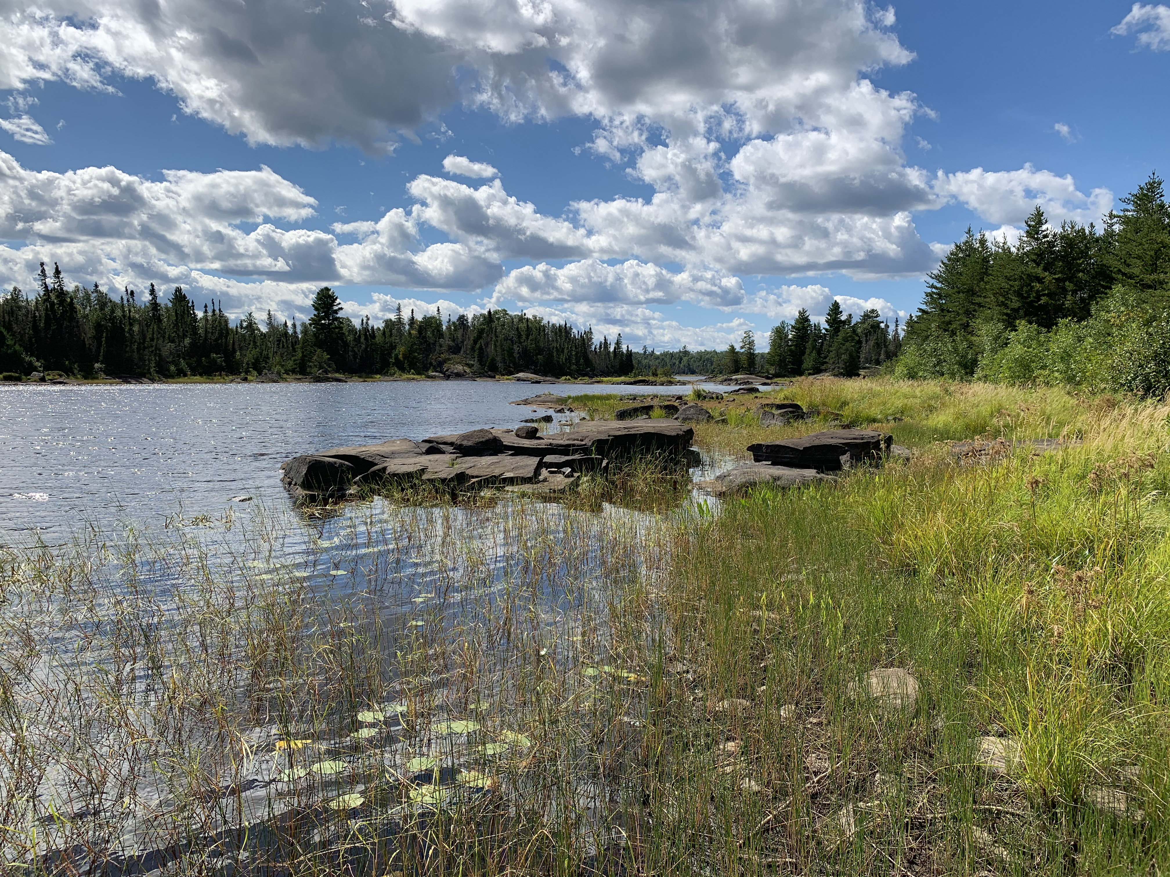
Nickel Creek is located in the southeast arm of Little Gabbro Lake. You are floating at the mouth of the creek and looking north, away from the creek. Nickel Creek has its headwaters at Nickel Lake which is located about 1 1/2 miles south of this spot. It is named for the abundance of mineable metals found in the area through which the creek passes. View of Nickel Creek -or- Explore Another Route ***********************************************END OF ROUTE***********************************************
PADDLING FROM NEAR THE MOUTH OF NICKEL CREEK TO GABBRO LAKE
Paddling across Little Gabbro Lake from the bay in which Nickel Creek flows into over to the channel that connects to Gabbro Lake in the BWCA. Paddle into Gabbro Lake -or- Optional Portage to Gabbro Lake -or- Explore Another Route ***********************************************END OF ROUTE***********************************************
PADDLING FROM BWCA CAMPSITE 1705 TO THE BWCA ENTRY POINT 33 PORTAGE
Paddling a short distance from the campsite just up the shore from the entry point portage landing to that portage landing. Portage to BWCA Entry Point 33 Parking Lot -or- Explore Another Route ***********************************************END OF ROUTE***********************************************
WALKING THE SHORELINE OF THE CHANNEL BETWEEN LITTLE GABBRO LAKE AND GABBRO LAKE
View east along the channel in the direction of Gabbro Lake.
Nearly a one-third mile (about 100 rods) walk along the north shoreline of the channel between these two lakes. The stroll ends at the western most of the two campsites in the west bay of Gabbro Lake
Looking west. Marshy area with reeds. There is still plenty of dry ground to walk on.
Narrow crossing of water you can step across to get to a small island at the west end of the channel.
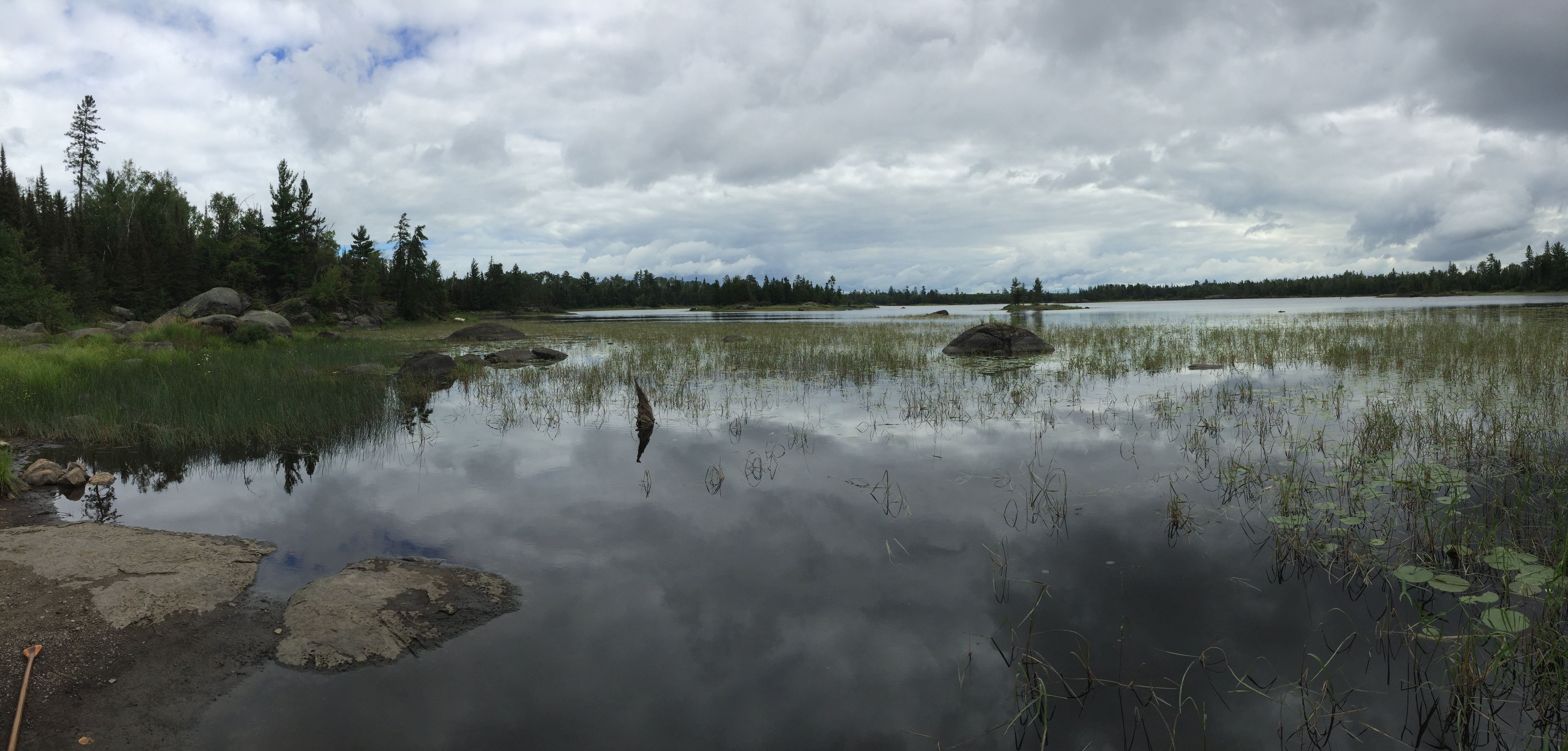
View to the west from the small island. The channel opens up to the main part of Little Gabbro Lake in the distance.
Looking south across the channel between Little Gabbro Lake and Gabbro Lake. This is near the west end of the channel. Explore Another Route ***********************************************END OF ROUTE***********************************************