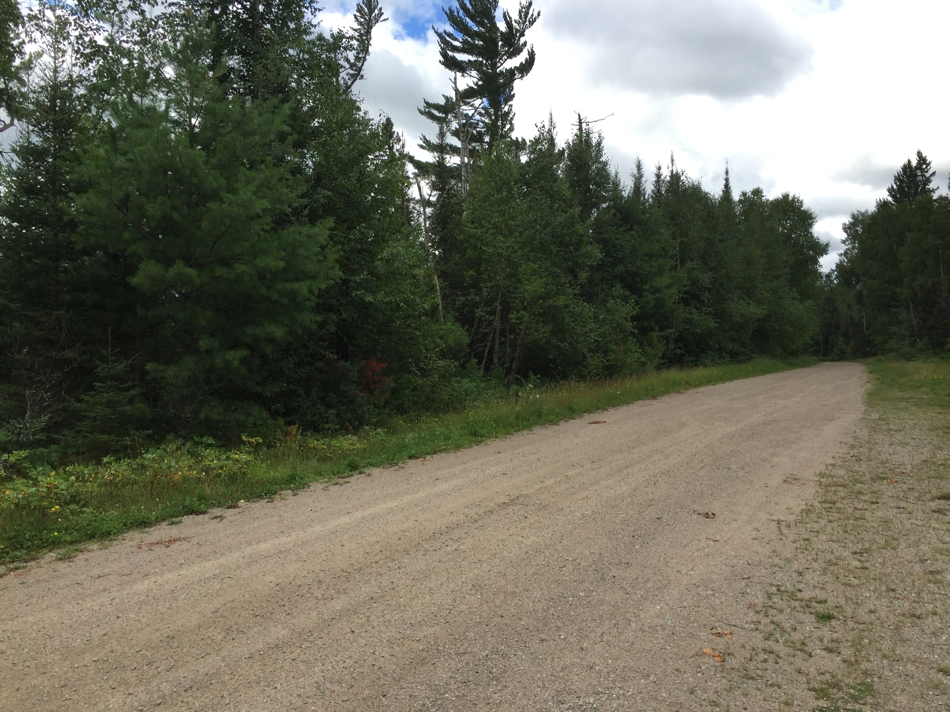
From Ely, follow Minnesota Highway 1 east for about 10 miles. Just after crossing a bridge over the Kawishiwi River for the second time, take a left onto Spruce Road (Road 230). Follow this road, past the Outward Bound School. In 4 miles you will pass the parking area for BWCA Entry Point 32 - South Kawishiwi River on the left side of the road. A sign here indicates that Little Gabbro Lake is another 2 miles. Drive the last 2 miles to the end of the road where the Little Gabbro Lake parking area is located.
You can drive right up to the start of the portage and unload your gear. The parking area is a couple hundred feet back down the road.
Using this entry point gives access to Little Gabbro Lake, Gabbro Lake, Bald Eagle Lake, Clearwater Lake and a few others. The only other routes out of this area are two separate portages into the South Kawishiwi River. One of these portages is 281 rods long and is just north of the entry point up the west shore of Little Gabbro Lake. This long portage leads to Bruin Lake, a small lake to the west. From Bruin Lake it is a short 15 rod portage into the South Kawishiwi River. The other route into the South Kawishiwi River is over a much more modest 122 rod portage. This portage provides views of the ruins of an old dam that used to raise the waters of Little Gabbro Lake more substantially.
The portage down to Little Gabbro Lake is long, with a few modest ups and downs. The trail has a few rocks, but pretty average for the BWCA.
Exploring the Entry Point
Click on the photos below to see the full resolution image - Use your browsers back button to close photo and return to this page.
The turnoff on Minnesota Highway 1. From here it's six miles to the Little Gabbro Lake entry point. The entry point is at the end of the road (September 2020). As it looked in August 2016. Signage has changed a little.
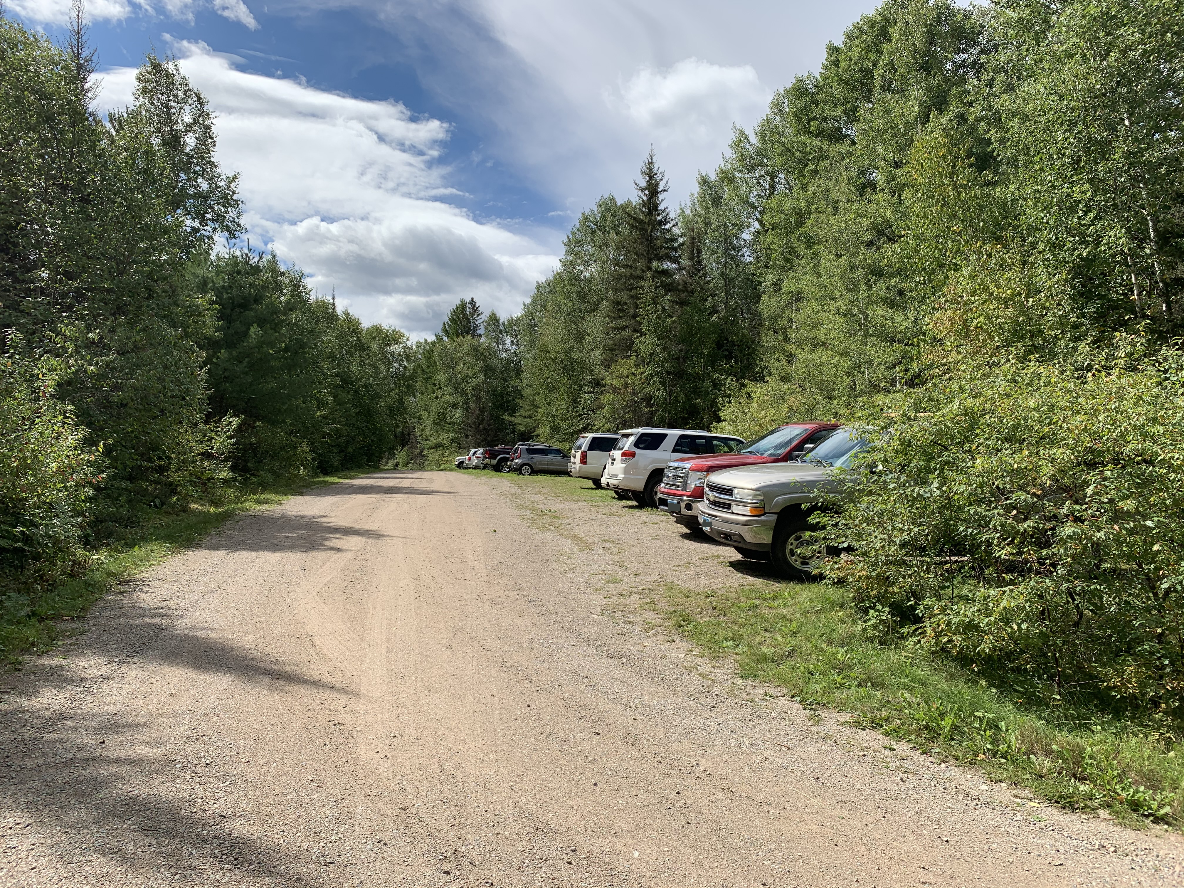
Looking back down the road from the entry point parking lot. The car parking area is just visible to your immediate right along the road. The unloading area is behind you from this vantage point.
Parking area looking down the road from near the unloading area which is next to the portage.
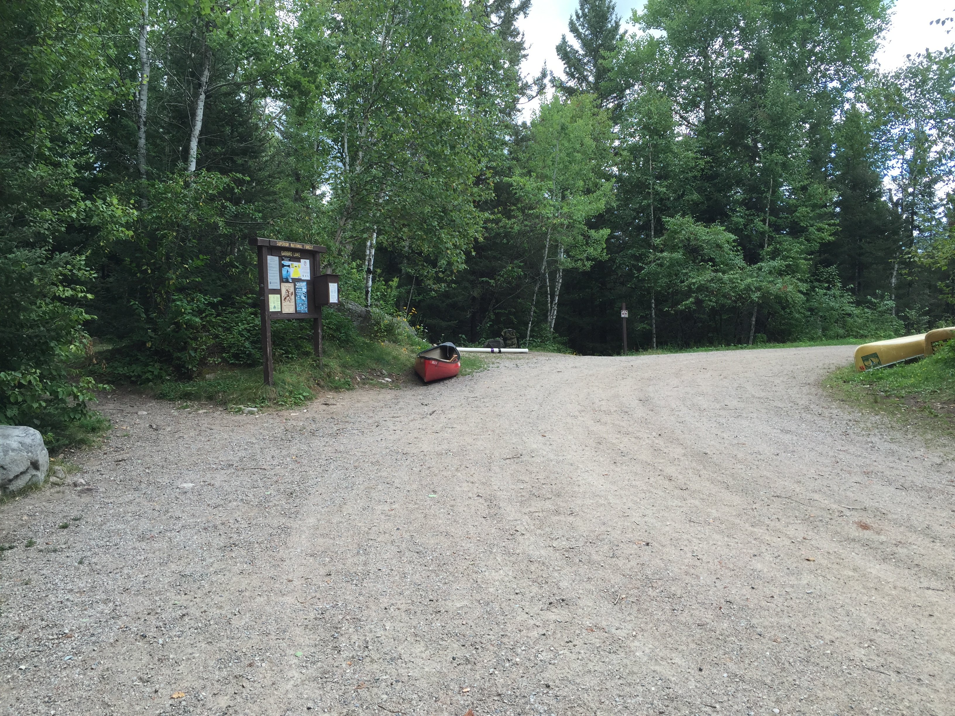
This is another view of the car unloading area from a different angle than the older footage shown below. There is a pit toilet off to the right down a short trail. The portage down to Little Gabbro Lake begins just behind the canoe (walk between the two boulders). September 2020.
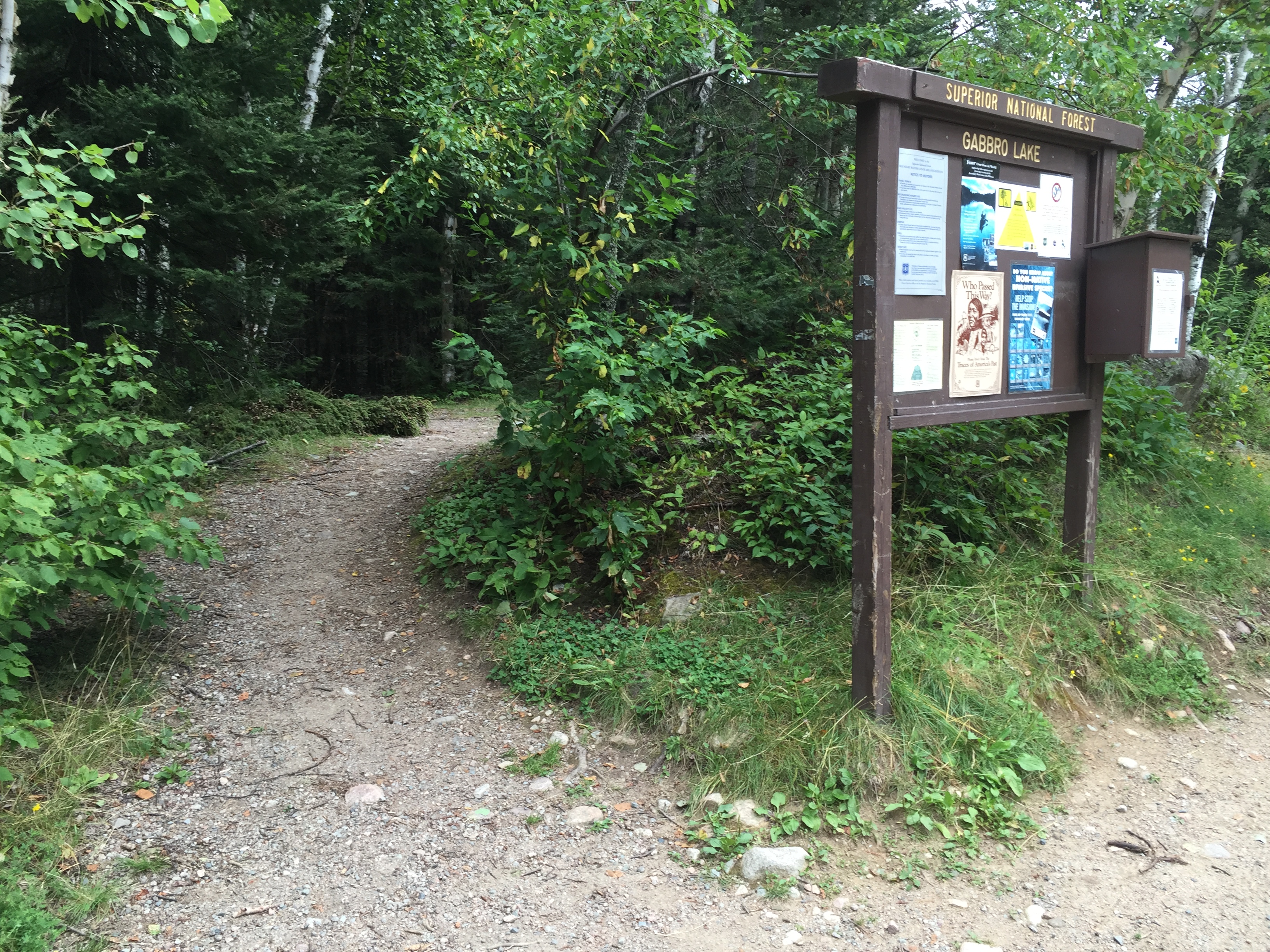
Unloading area. In the distance, just right of center is the sign marking the trail to the biffy. The start of the 208 rod portage is just to the left of the bulletin board on the very left side of your view. August 2016.
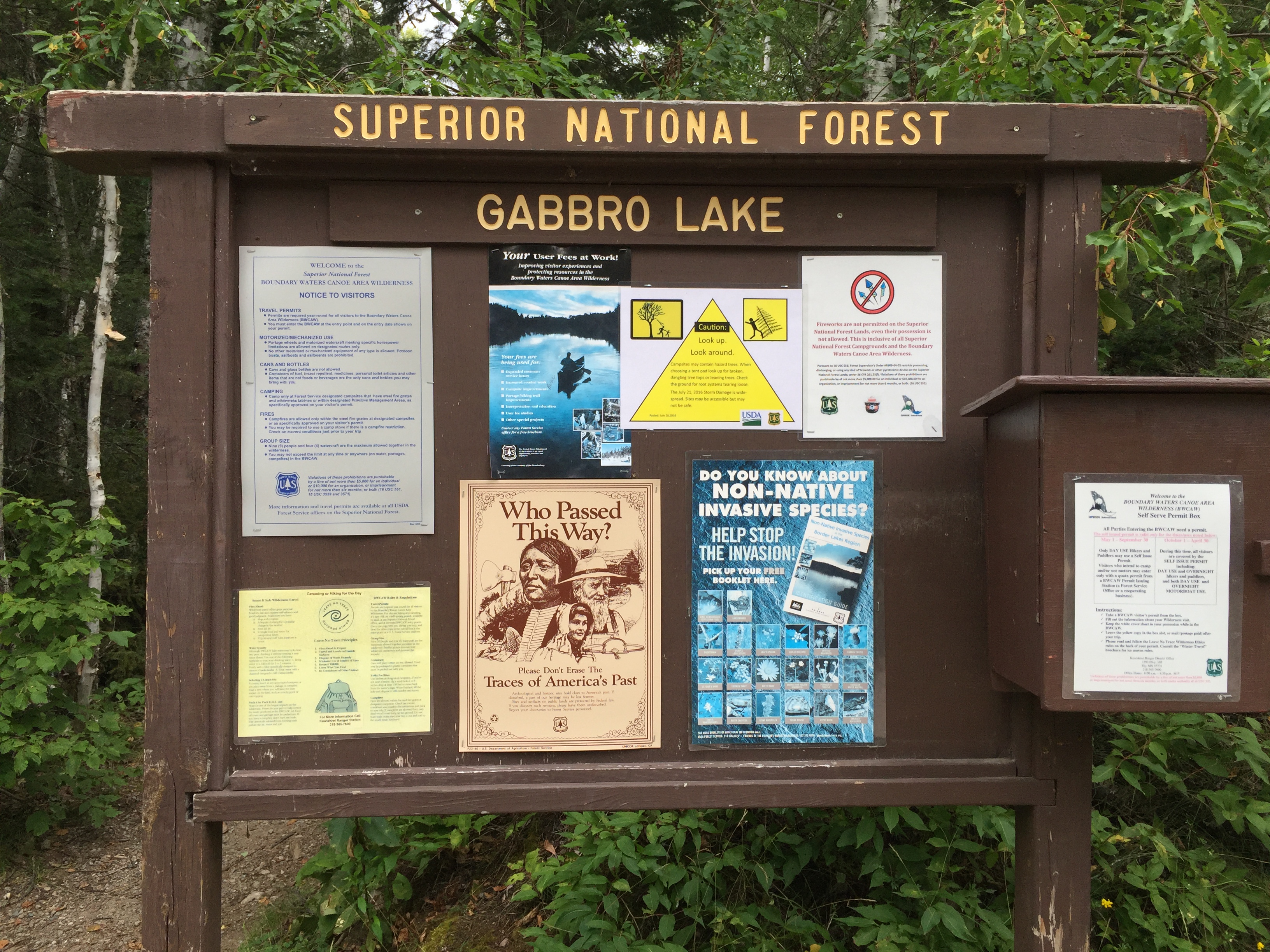
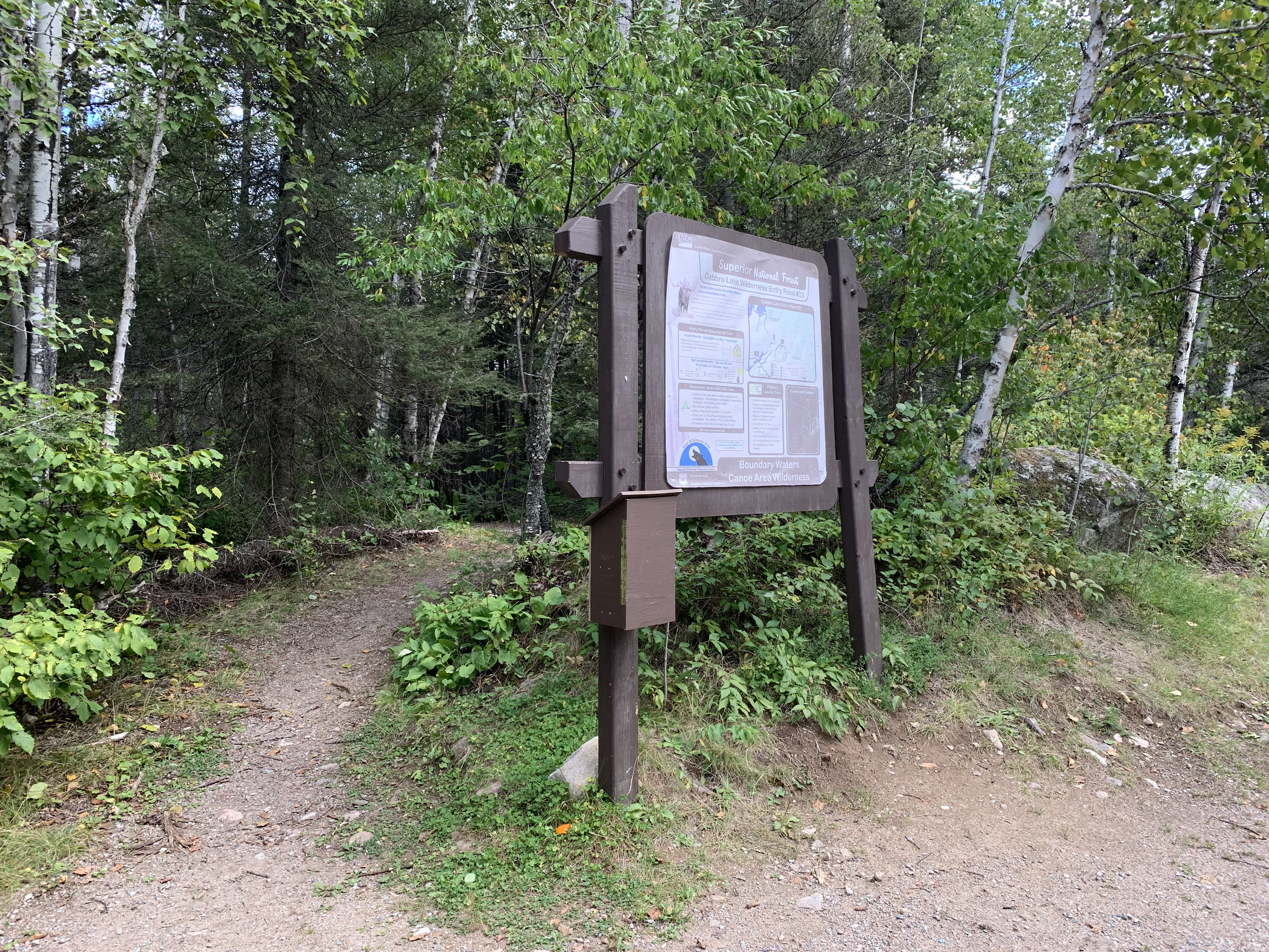
A newer bulletin board graces this entry point. It was swapped out sometime between August 2016 and September 2020. The former bulletin board. August 2016.
A walk around the entry point area from the parking lot over to the start of the portage, which is behind the bulletin board.
Similarly angled view to the one shown below, but more recent (made obvious by the newer bulletin board). September 2020. The start of a long but easy portage leading to the shore of Little Gabbro Lake. If you find yourself carrying a load over this portage three times, you might have too much stuff. The older style bulletin board is shown here. August 2016.