A small lake surrounded by a peat bog on the north, west and southern shoreline. The eastern shoreline is rocky with some substantial geographic relief. The entire lake is shallow, but not overgrown with weeds; mostly open water. Much of the bottom of the lake is hard, including extensive sand substrate.
The BWCA maps show a small creek into Contest Lake, but other than the first 100 feet or so from the Stuart River, the rest is definitely not navigable. This small creek mouth is easy to miss too. The creek mouth is about a one minute upriver paddle on the Stuart River from the next portage. There is no trail or other signs indicating that Contest Lake gets many visitors.
It looked like you could find a place to land a canoe and set up a tent along the rocky eastern shoreline of Contest Lake. Nobody would ever know that you are here, even though a thin, but steady line of canoeists is making their way up and down the Stuart River only a short distance away.
During visit, there were many ducks and also a group of trumpeter swans swimming around Contest Lake.
The known fires in this region were the 1894 blaze(s) (possibly two of them) that are known as the Oriniack/Sioux River/Lac La Croix/Crooked Lake Complex and the Chad/Cummings/Lac La Croix/Crooked Lake Complex. In 1875 the Mule Creek/Sterling Lake/Sunday Lake/Crooked Lake Complex burned much of the area. Eleven years prior to that, in 1864, the Little Indian Sioux River/Lac La Croix/Crooked Lake Complex raged through here. The oldest fire known to affect the area occurred in 1822 and is referred to as the Hook Lake/Hegman Lake/Crooked Lake Complex.
Click on the photos below to see the full resolution image - Use your browsers back button to close photo and return to this page.
To find the creek that you can follow to Contest Lake from the Stuart River, start at the 69 rod portage that is just downstream. Paddle upstream a few hundred feet and look to your left and you'll see the mouth of the creek amongst the tall marsh grass.
The start of the bushwhack to Contest Lake is about 400 feet upstream from the 69 rod portage. Enter this small opening in the peat bog along the river bank and paddle up the creek about 100 feet. At that point, the creek will become impassable in a canoe and you will have to bushwhack the rest of the way over to Contest Lake.
Bushwhack to Contest Lake
Bushwhacking into Contest Lake from the Stuart River. You can just follow the creek all the way. The creek is easy to track as long as you stay near it, but the high grass makes it invisible if you stray away from it. Do not assume that the creek is shallow even though it is just two feet wide. It is quite deep in spots.
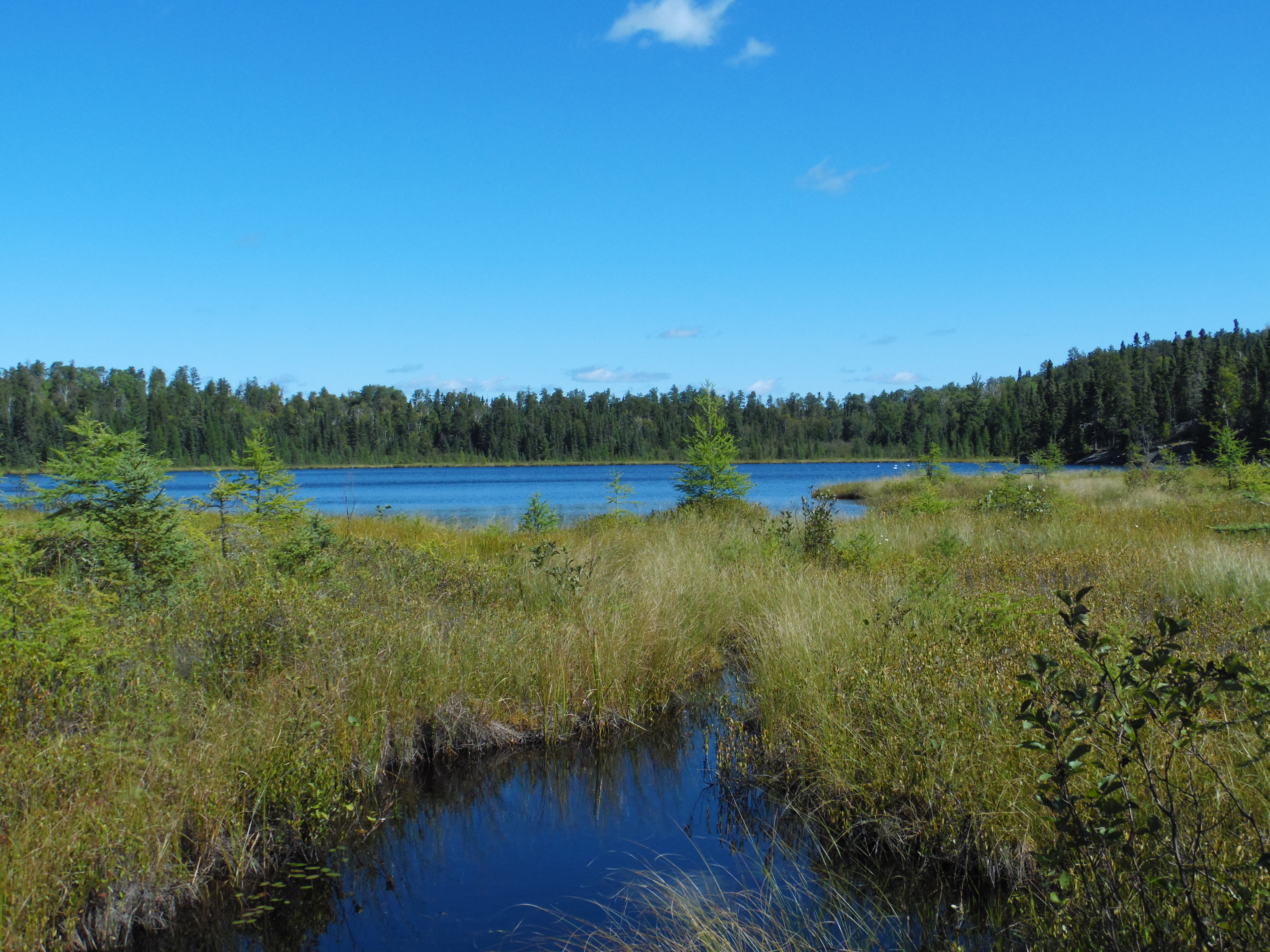
This will be your first view of Contest Lake when approaching it along the small crick from the Stuart River. You are looking northeast.
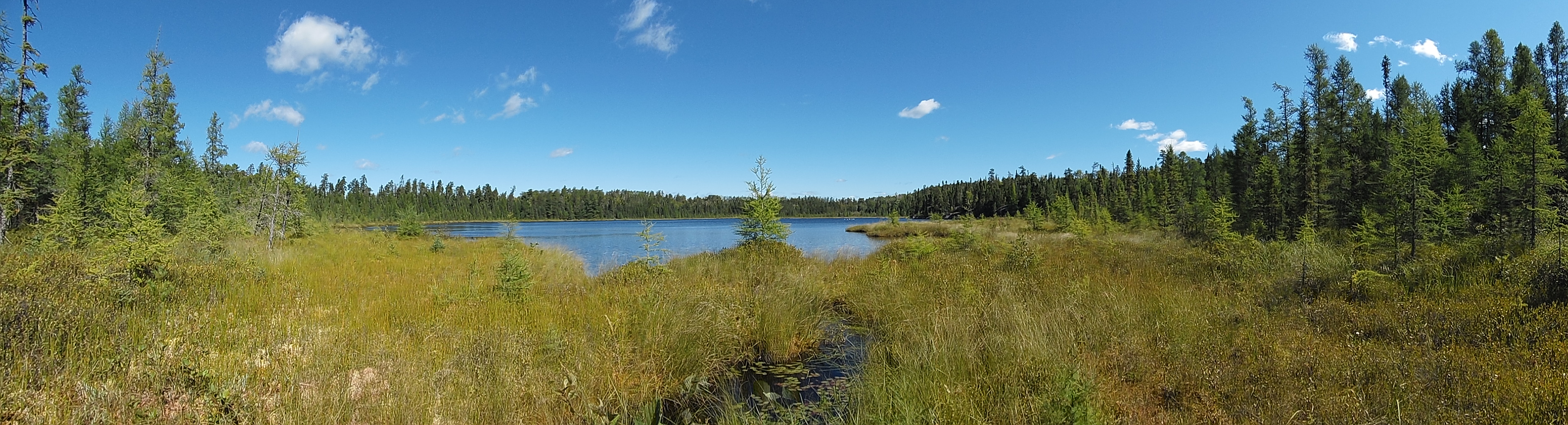
Looking north from the south end of Contest Lake. This is where the bushwhack to the Stuart River starts and ends. Several trumpeter swans are just visible to the right of your view (the white specks on the lake).
Exploring Contest Lake
Looking back at the small creek where it exits Contest Lake. This is where you will start the bushwhack back to the Stuart River.
A group of trumpeter swans on Contest Lake; you are looking towards the east in this image.
From the beginning of the Stuart River bushwhack next to the small creek, paddle counterclockwise around the perimeter of the lake. The east shore of the lake is steep and rocky, the rest of the lake is surrounded by lowland.
This is looking southeast to the area just up the shoreline from the small creek that leads back towards the Stuart River.
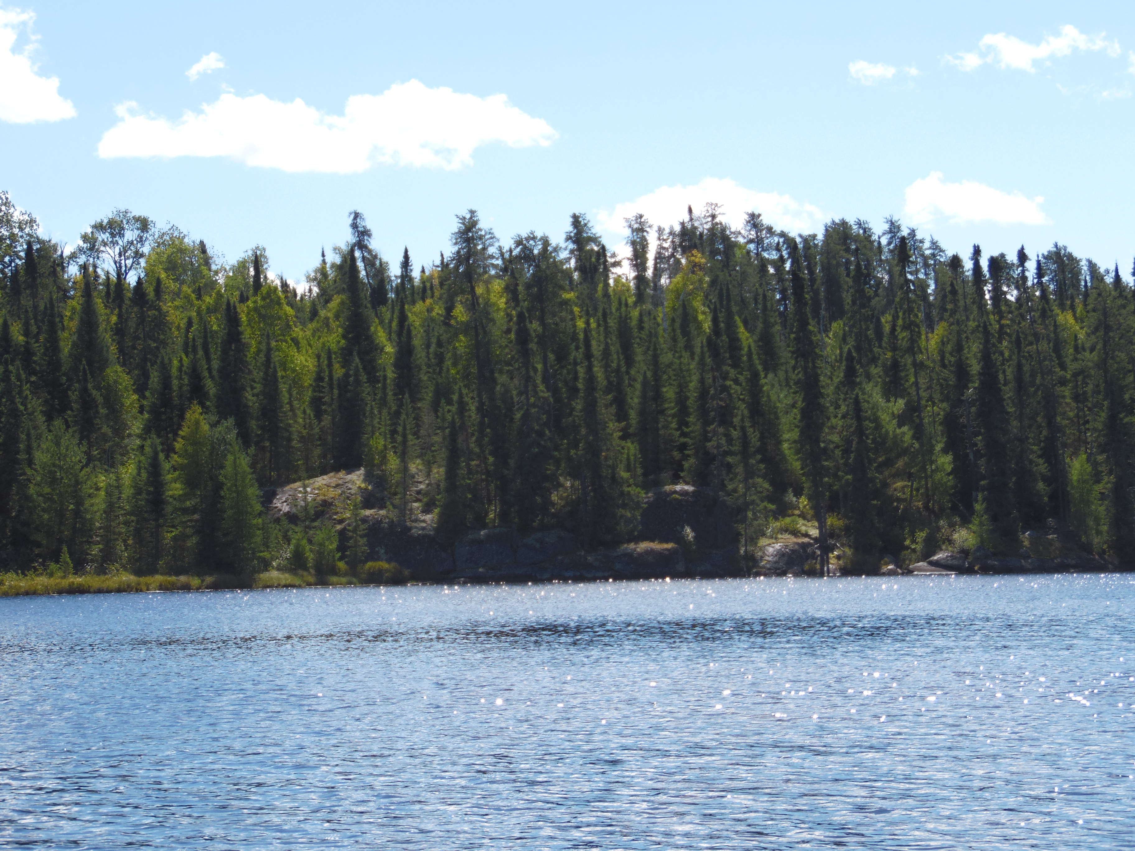
East shoreline of the lake. This side of the lake has all the rocks. The rest of the shoreline is all lowland. This would be the area to setup camp if you want to spend some time here. You need a PMA permit to camp here in addition to the regular BWCA permit.
East shoreline of Contest Lake.
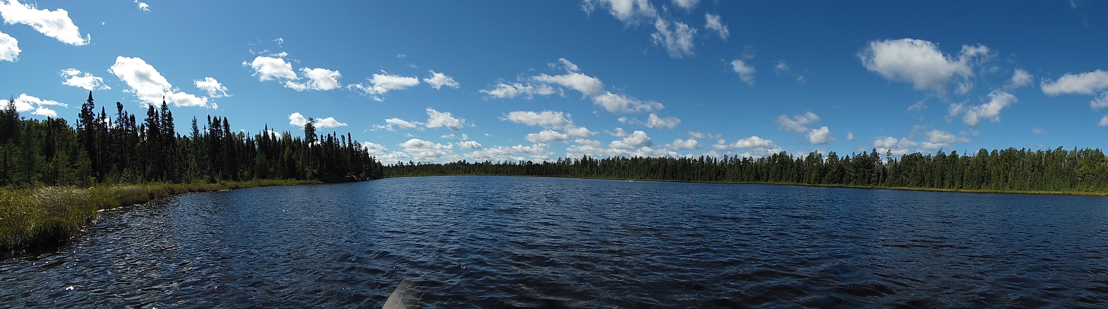
Northeast and north shoreline of Contest Lake.
Looking south at the whole of Contest Lake. This view is from the north end of the lake.