Entry Point 78 - Brule Lake Trail
Tofte Ranger District
In Lutsen, turn off of Minnesota Highway 61 onto County 4 (Caribou Trail). Follow the Caribou Trail for 17 miles (first 7 miles are paved) until you reach The Grade (a.k.a. Forest Road 153). Take a left here and go 1.5 miles west to Brule Lake Road (Forest road 326). Turn right. It is 5 miles to the Brule Lake Trail entry point (4 miles to the Homer Lake entry point).
Once you get your gear unloaded from the car or truck, you have to walk about a quarter-mile (roughly 80 rods) back down the Brule Lake Road to the start of the trail. You passed the trail when driving to the parking lot on your right. It is well marked with a sign. There is a permit box here if you are day hiking. The trail is generally easy to follow. Checking this trail on the far end (near the connection to the Eagle Mountain Trail), it is a little difficult sometimes to determine where the two trails join. The trail is 6.7 miles long. The only campsite along the Brule Lake Trail is found at Fishhook Lake. It is a very nice campsite.
The other end connects to the Eagle Mountain Trail near Whale Lake. There is a campsite on Whale Lake near this intersection. It is another 2.8 miles from the intersection of the two trails to the Eagle Mountain Trailhead. You can also hike to the highest point in Minnesota, Eagle Mountain. Take the other trail that leads strongly uphill from the above mentioned intersection. Excellent views from near the summit. A large boulder with a plaque marks the true summit, which is back in the woods a bit. There is no view of the surrounding area from the true summit of Eagle Mountain.
Exploring the Entry Point
Click on the photos below to see the full resolution image - Use your browsers back button to close photo and return to this page.
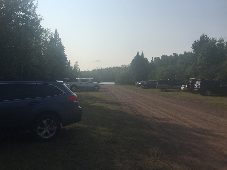
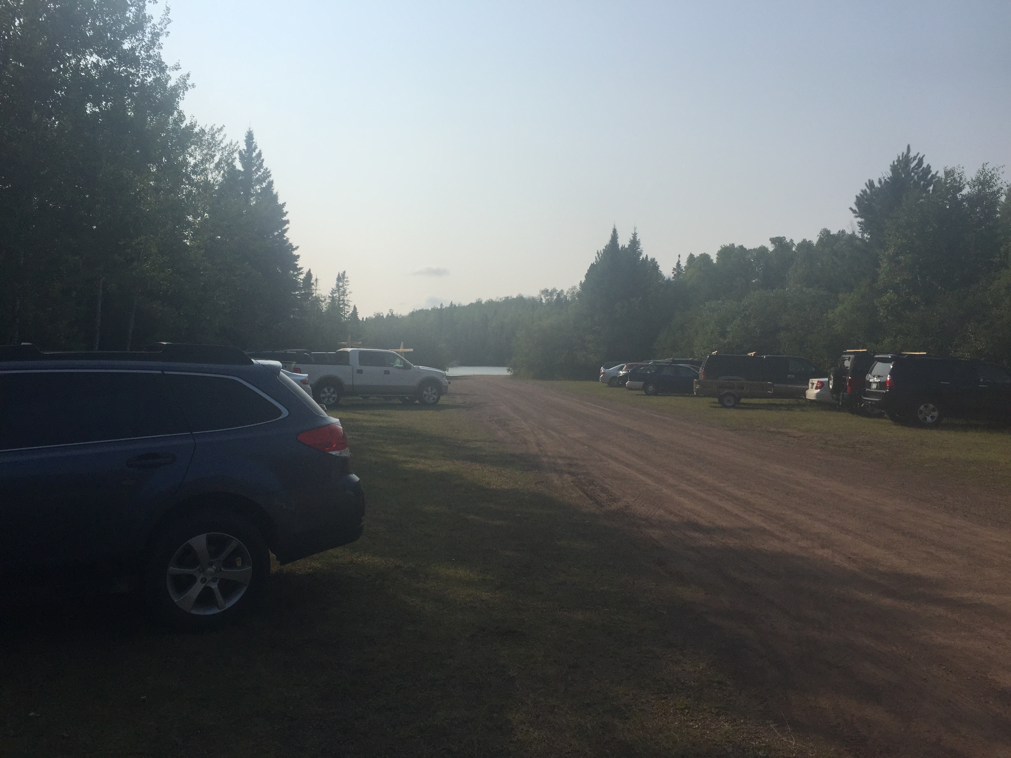
The parking lot for the Brule Lake Trail. Brule Lake is in the background. The paddlers using the Brule Lake entry point also use this parking lot.
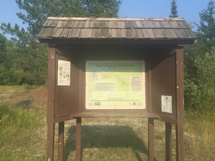
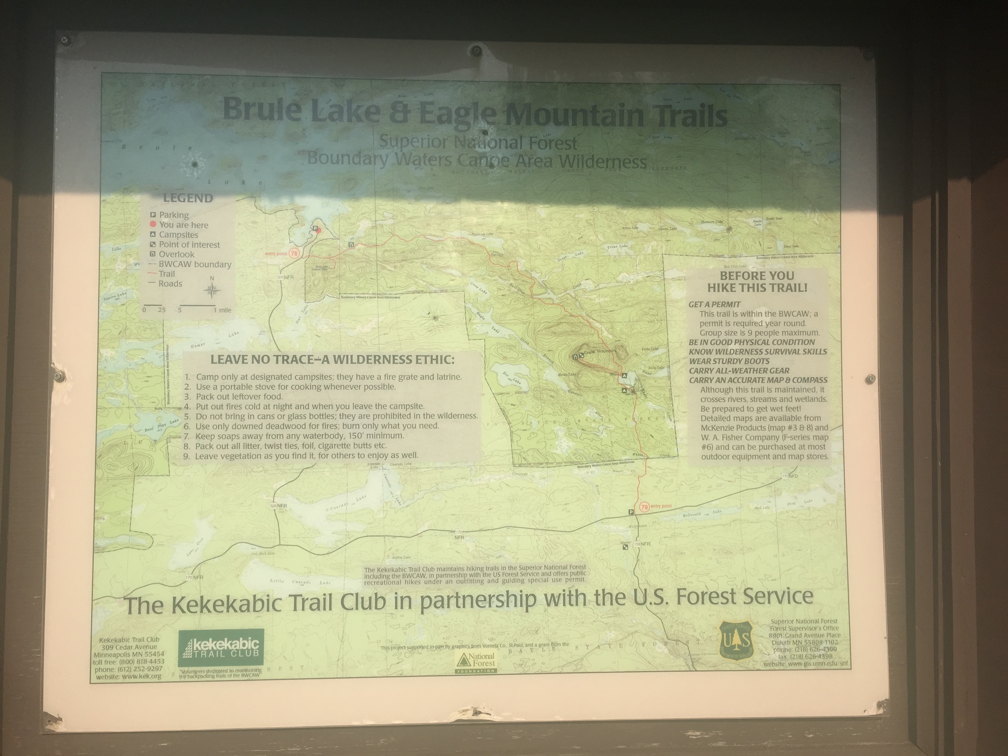
The usual bulletin board. Brule Lake Trail has its own bulletin board; different from the Brule Lake entry point bulletin board.

Some reading material.
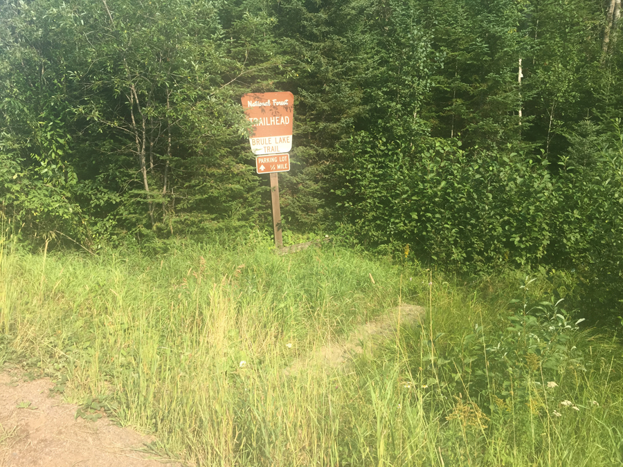
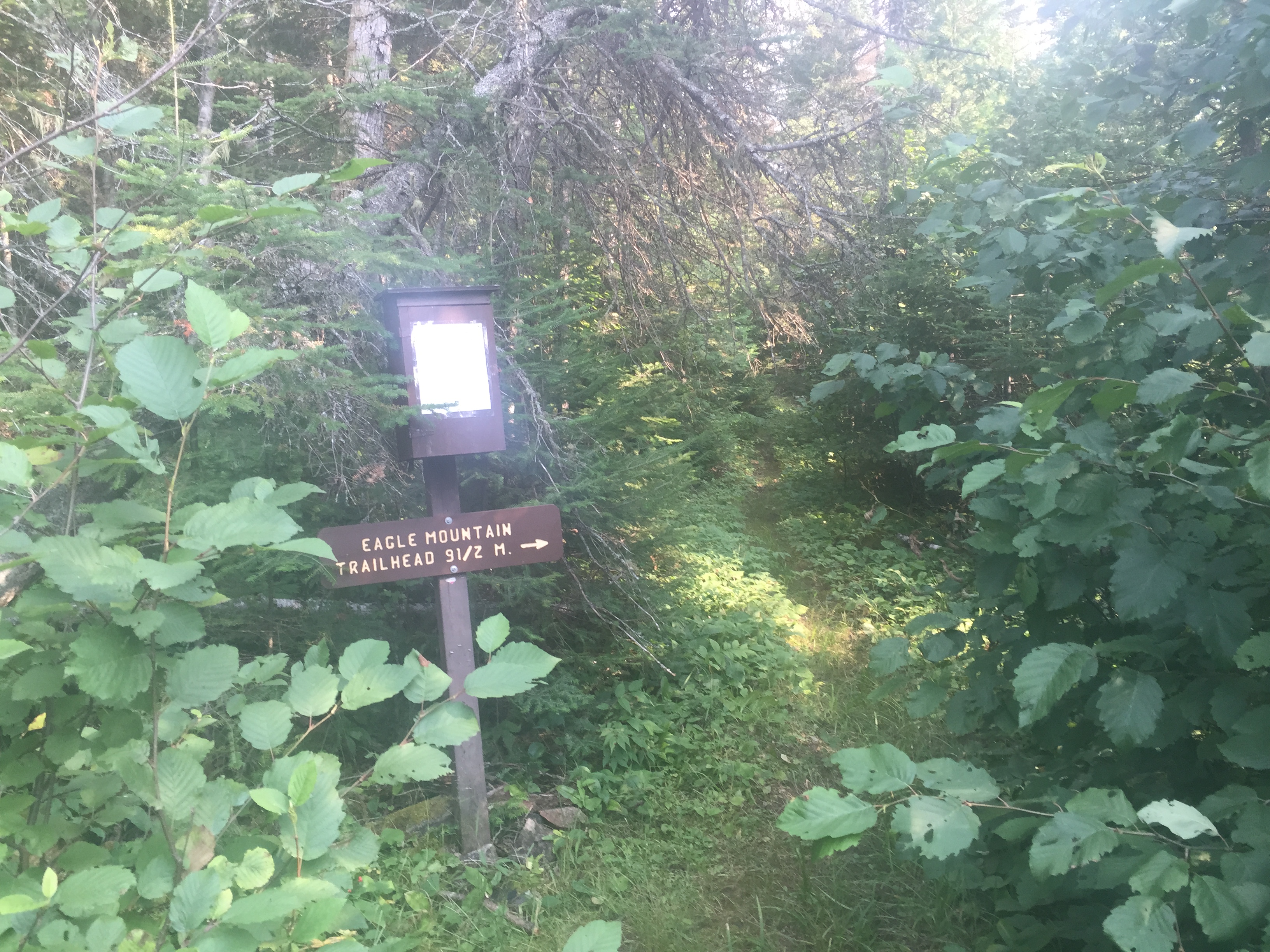
The sign marking the trailhead for the Brule Lake Trail. This is about 80 rods (1/4 mile) from the parking lot down the road you drove in on.

The permit box and mileage sign. The trail leads off into the woods. It is 9.5 miles to the Eagle Mountain Trailhead, of which 6.7 miles are on this trail (Brule Lake Trail). From the intersection of the two trails, follow the Eagle Mountain Trail 2.8 miles to its trailhead and parking lot.
Now that you've reached the trailhead, start hiking the: BRULE LAKE TRAIL
Return to List of BWCA Entry Points (sorted by Entry Point Name or by Entry Point #)
|