Carefree Lake
Note: I was on Carefree Lake during the big Pagami Creek Fire of 2011. The fire started only about one mile from Carefree Lake, yet it wasn't even visible when I was here. I did encounter a lot of U.S. Forest Service personnel paddling out for the day while crossing back to the entry point on Lake One. At the time, the fire was small and nobody knew what was coming. A plane (probably associated with the fire crews) circled over me a few times while I was paddling around on Carefree Lake; probably surprised to see somebody on this lake. The Pagami Creek Fire did not burn the forest around Carefree Lake or Plukesley Lake.
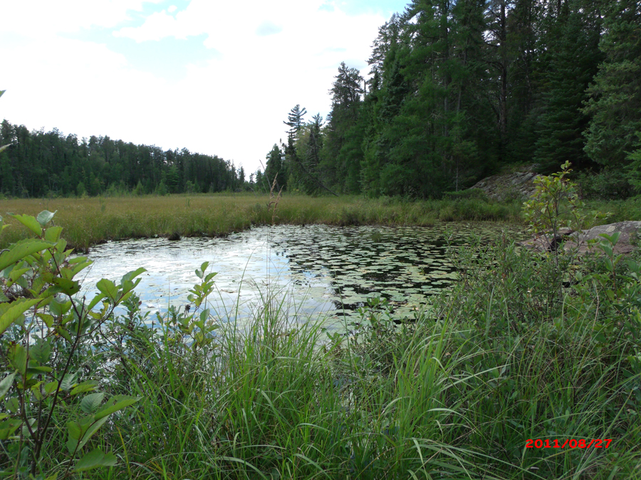
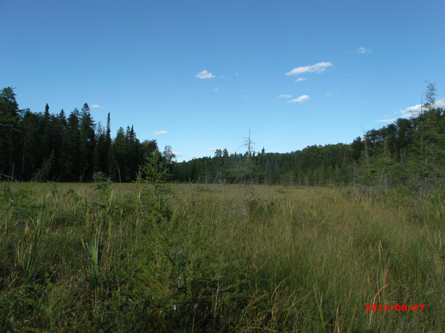
On Lake One, when you get near the portage, you will see some rock formations along the shore in the back of the bay. Climb up on these rocks. If you go back a short distance into the forest, you should be able to find a faint portage trail. This trail represents a mild bushwhack; sort of a portage/bushwhack hybrid if you will. The trail is sometimes hard to follow, but it will take you to a narrow valley in the forest that opens up to the sky. Through this little valley flows a small creek that is perhaps one foot wide through marshy ground with high grass. It is fairly tiring to pull gear and a canoe through this grass. Follow the creek to a pond (visible on satellite images). This pond is deep; could not touch the bottom with my paddle and arm fully extended under the water right from shore. It is fully covered by lily pads, so probably is less than 10 feet but is drops right from the edge. Past the deep pond, you enter a large clearing. It is a peat bog and the little creek meanders through it, though it is hard to follow. The easiest walking is found while staying along the forest, on the southern most edge of this clearing. Follow this tree line the rest of the way to Carefree Lake. Entering Carefree Lake will take you between some rock walls in a channel choked with lily pads (late summer). Carefree Lake has a possible campsite along it's south shore (see map). There is a portage to Plukesley Lake (not a pure bushwhack) that is useful if you can find it. Look in a small bay where the distance between Carefree Lake and Plukesley Lake is the shortest and assuming it hasn't fallen, there is a dead tree trunk sticking out of the water (maybe 6 feet high). The portage begins under some pine boughs right behind it. You cannot see the portage from the water even if you are right next to shore.
The island in Carefree Lake is notable because it has an interesting half-moon shape and some pretty rock formations.
At time of last visit, did not know about the two old trails that used to come in to Carefree Lake from the Kawishiwi River and Pagami Creek. So unknown if they still exist. Both of these trails show up on a 1952 Fisher map. They probably were established trails, not necessarily portages. Could have even been old logging roads.
In 1894 a fire affected this area. This fire started somewhere near Gabbro Lake and burned from Gabbro Lake up to Lake One, Lake Two and Lake Three.
What is a Primitive Management Area (PMA)?
Approach to Carefree Lake
Click on the photos below to see the full resolution image - Use your browsers back button to close photo and return to this page.
Here you are on the west end of Lake One. At the top of the rocks you see before you, is where you begin a short walk back into the woods. You soon happen upon a faint trail.
Bushwhack to Carefree Lake
Looking carefully, you can see the faint portage trail through the forest between Lake One and Carefree Lake. See it just to the right of the large pine in nearly the middle of your sightline.
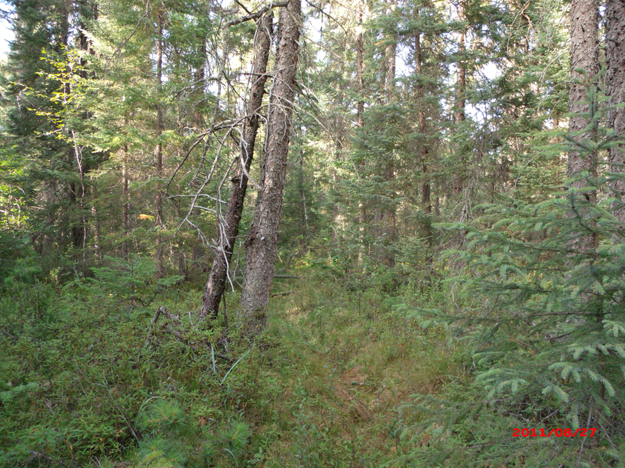
The faint trail can get pretty faint so keep a sharp look out.
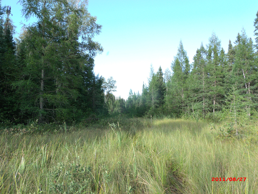
The faint trail comes out of the woods in a sort of valley that runs northeast to southwest. A very small creek flows through this valley hidden in the high grass. Follow the creek. Eventually the about about 20 rods the little valley opens up and you see a large peat bog before you stretching off to the west. No sign of Carefree Lake yet.
You stop for a breather and take in a 360 degree view of the peat bog you must cross. It looks like you are about midway through the bushwhack to Carefree Lake.
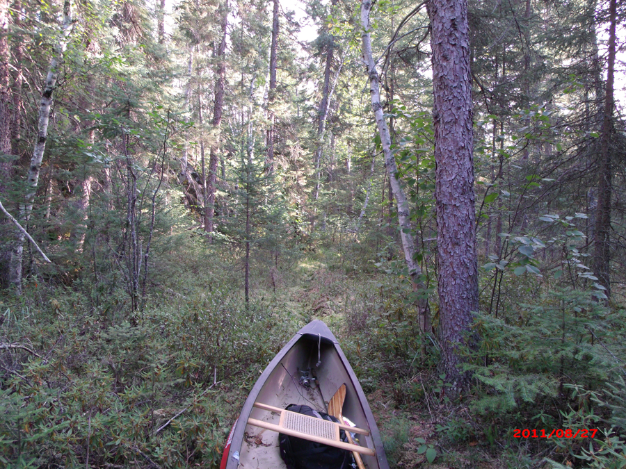
As good a place as any to set the canoe down.
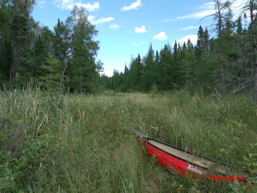
A small pond dots the peat bog between Lake One and Carefree Lake. You see it as you exit the valley with the creek running through it. From here you can look around and envision the route. It appears that the easiest passage would be if you stay left of this pond and follow the treeline, some of which is visible to the left in the distance. Carefree Lake would be in that notch, straight across this small pond, from where you are standing. You decide to stay with the forest edge rather than beelining across the peat bog. It is usually easier to walk along the forest line. Peat bogs can have muck holes in them too and stepping in one is bad news (think mud up to your waist).
You're just past the pond and making your way toward the forest edge to the left. Here you are looking west toward Carefree Lake which is in that notch where the tree line drops to its lowest point. It's about 40 rods to that point as the crow flies, but it will be about 55 rods since were taking a slightly circuitous route.
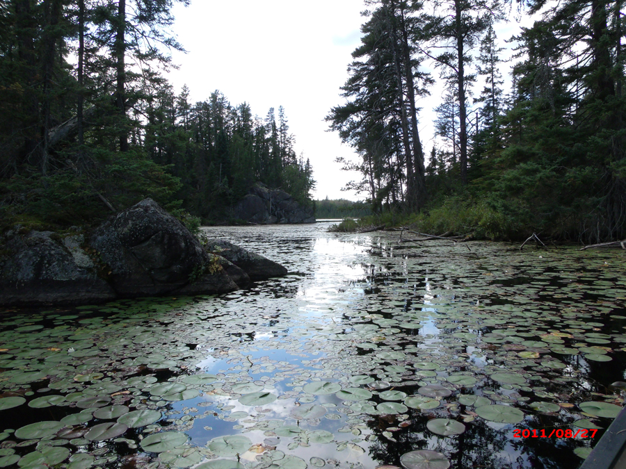
After crashing through the peat bog grass for another 55 rods, you make it to the eastern end of Carefree Lake. You can't really see the lake until you are fairly close to it.
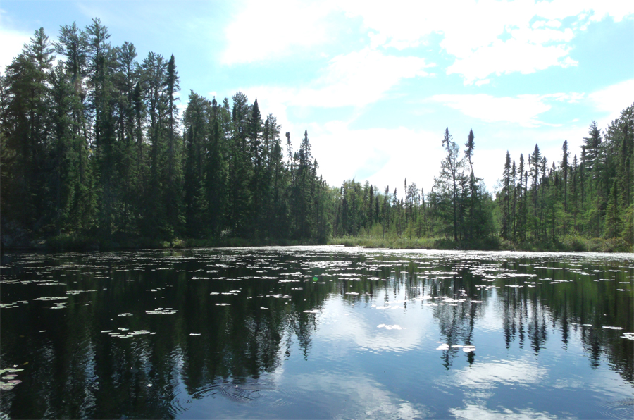
Exploring Carefree Lake

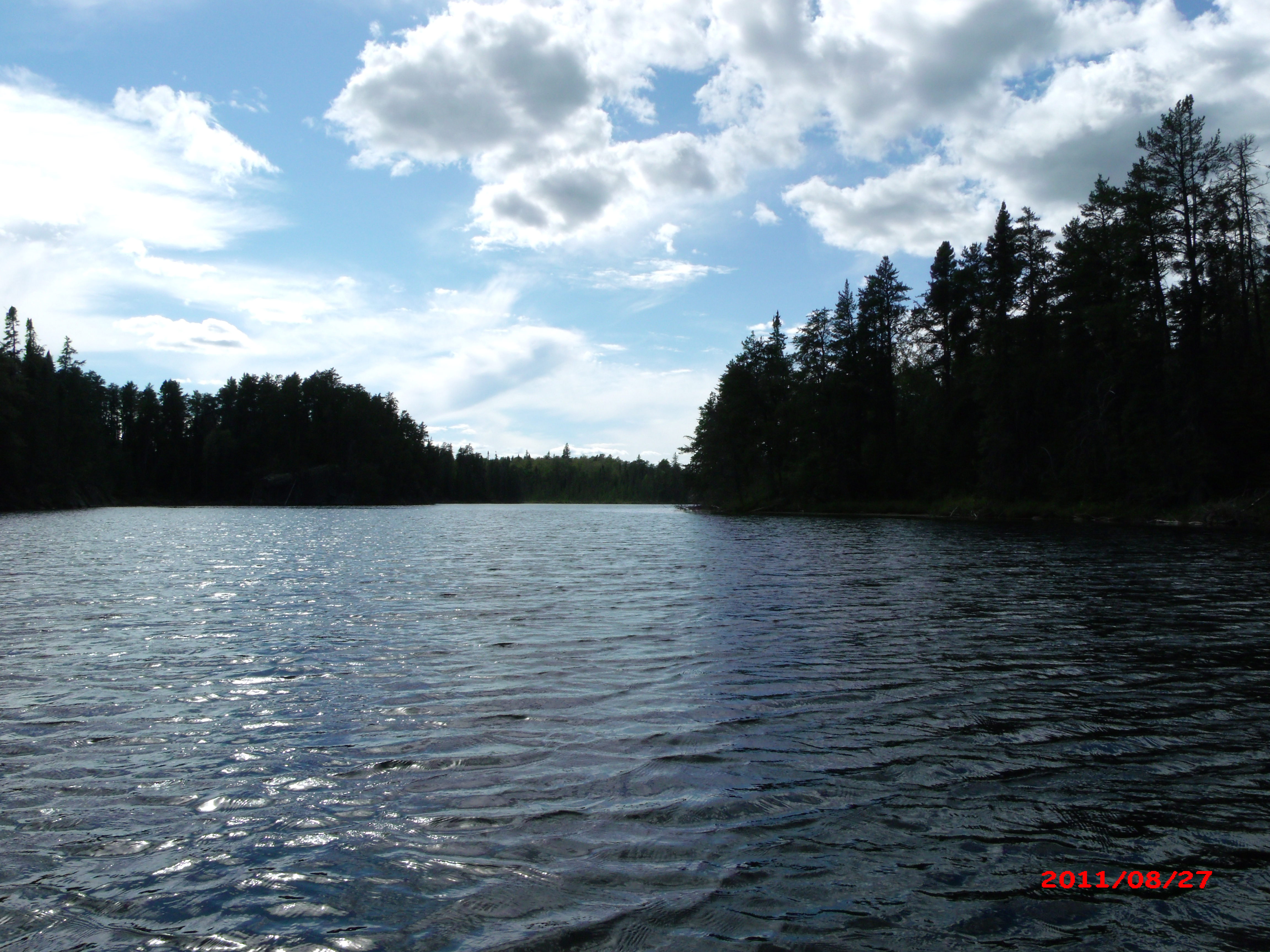
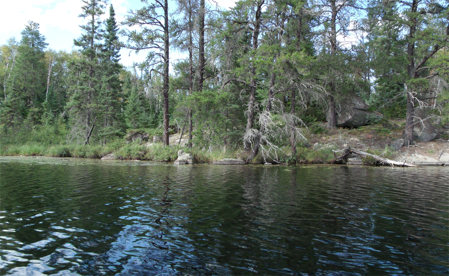
This view is to the west from the eastern end of the lake.
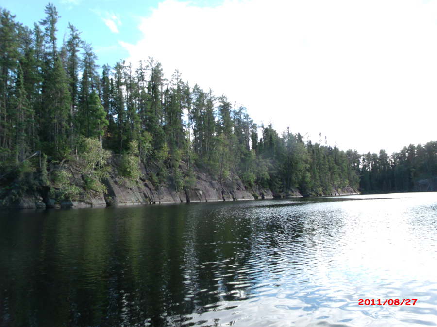
The south shoreline of Carefree Lake. View is toward the west from the eastern half of the lake.
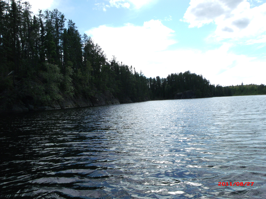
The south shoreline of Carefree Lake. Steep cliffs descending sharply into the lake. The deepest part of the lake was found right out in front of these cliffs.
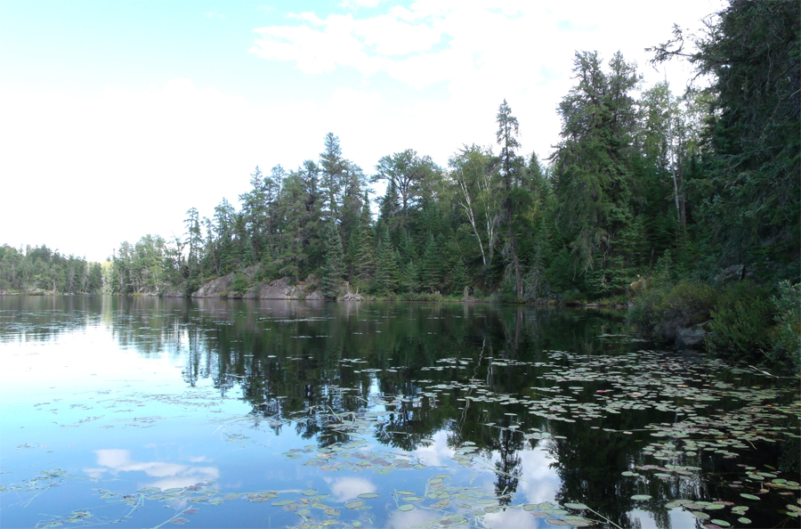
This is the large bay along the middle of the south shore of the lake.
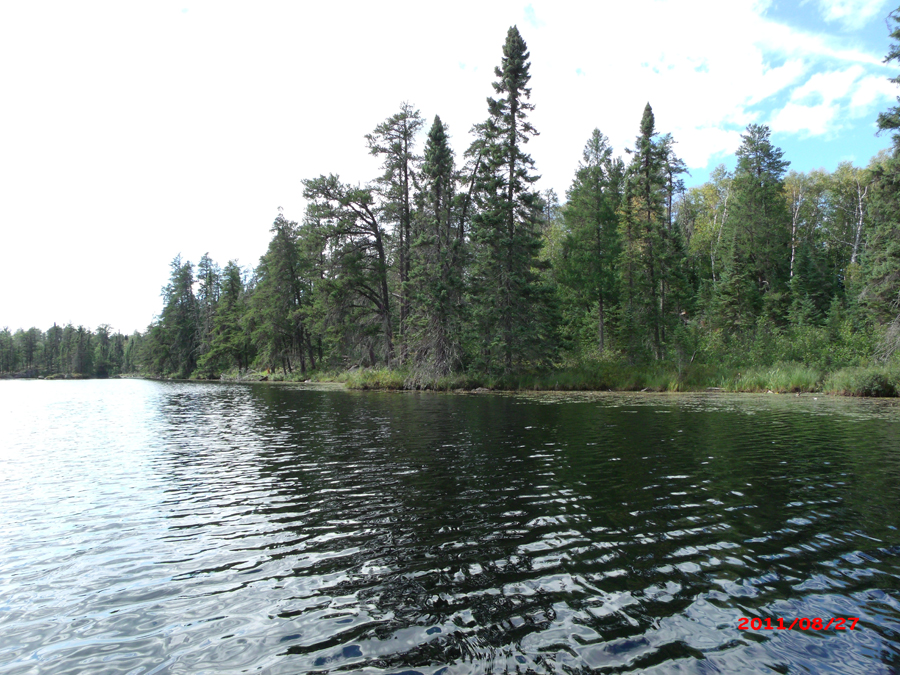
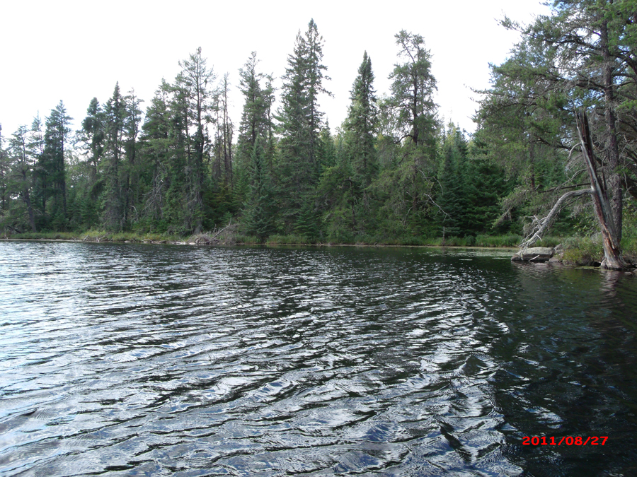
Northwest shoreline of Carefree Lake.

Looking west from near the middle of Carefree Lake. The north shoreline of the lake is on your right. The half-moon or horseshoe shaped island can be seen in the distance at far left.
North shore of the lake. This is somewhere near the middle of the lake. You are peering generally toward the west down the edge of the lake.
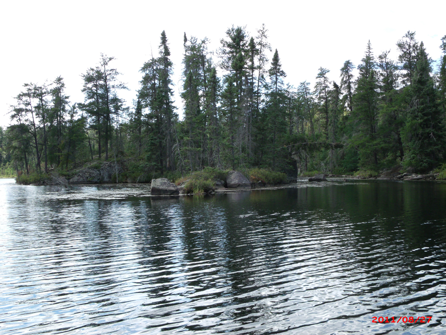
Location is in the western end of Carefree Lake. This viewpoint is toward the east. This is the prominent point jutting up from the south shore of the lake just below the crescent moon-shaped island.
The horseshoe-shaped or crescent moon-shaped island.
Looking west at the western end of Carefree Lake.
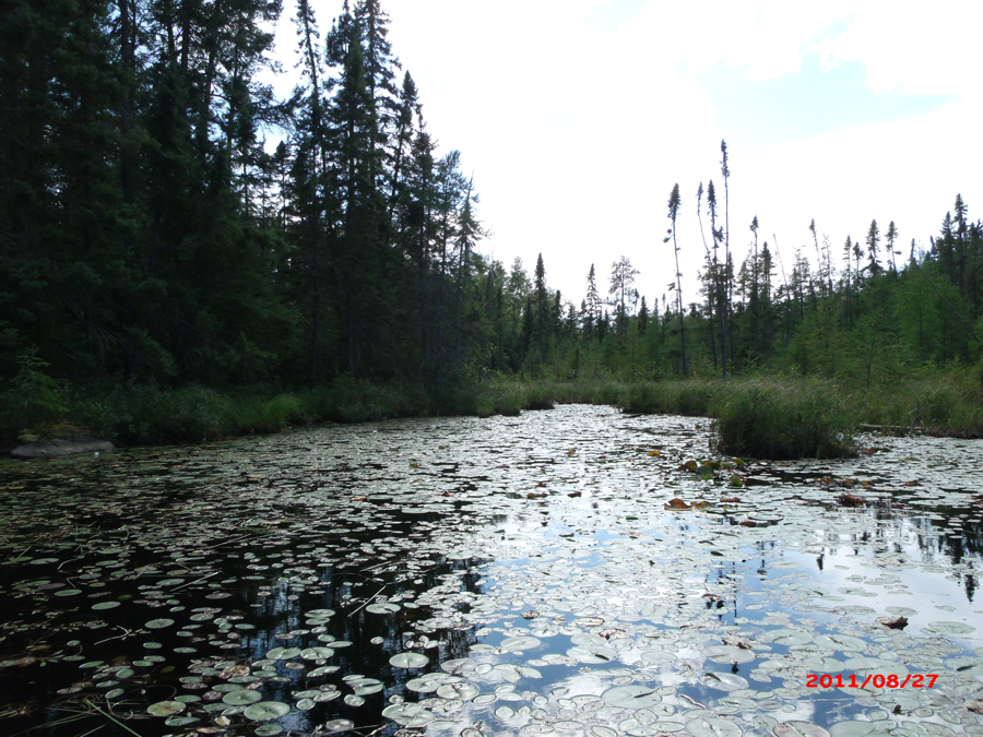
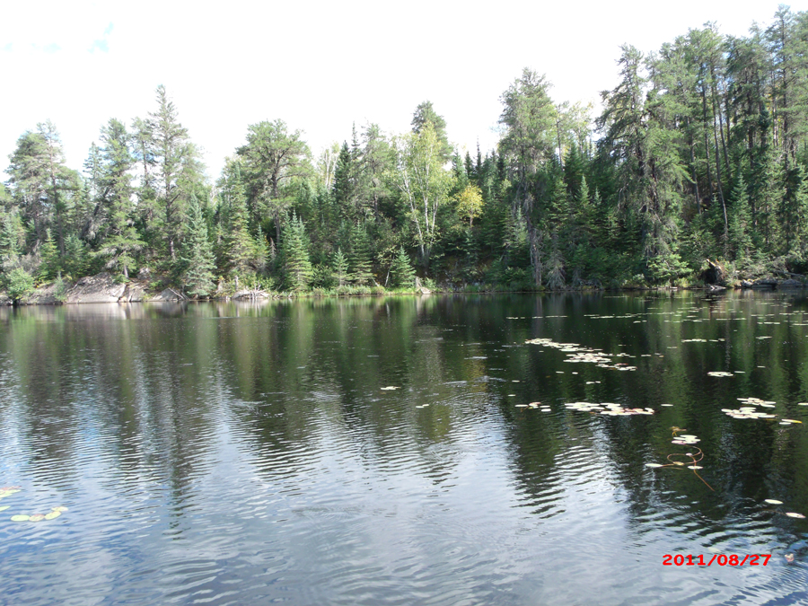
The west end of the lake is covered with lily pads. The shoreline at this end of the lake is a bog. A small creek flows into the west tip of the lake.
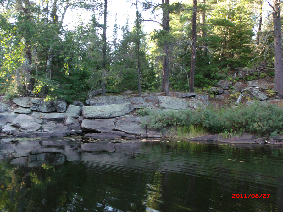
Since you made it all the way to Carefree Lake, you might as well visit Plukesley Lake too. Plukesley Lake is accessible by a short bushwhack. This bushwhack isn't that difficult, but the start of it can be hard to find. In this image, the bushwhack (which is along a faint trail) starts just to the left of that large rock on the right side of your view. About "one width" of that rock to the left you can see a pair of bushy pine trees in the background where the lily pads are. Right between those two pines is where the faint trail between Carefree Lake and Plukesley Lake can be found. There is a dead tree trunk sticking out of the water close to shore in front of the left of the two pines. The trail is just to the right of it.
|