Portage between BWCA Entry Point 19 and the Stuart River and surrounding area
Length in Rods: 480 rods
Date portage was last visited: September 4, 2016
Portage Rating: Easy
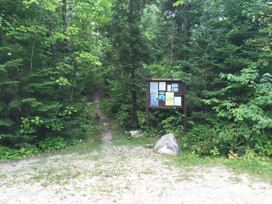
The Portage between BWCA Entry Point 19 and the Stuart River
Click on the photos below to see the full resolution image - Use your browsers back button to close photo and return to this page.
Portaging Direction: From BWCA Entry Point 19 to the Stuart River
You have 480 rods (1 1/2 miles) of portage in front of you past this sign. On the positive side, if you are heading in this direction you will loose about 155 feet of elevation over those 1 1/2 miles. Groups that use this entry point often arrange for a pickup at another entry point, so they don't have to make this carry again. This portage is usually in very good condition. A couple stream crossings along the route. This portage also makes a nice three mile roundtrip out and back hike if you're in the area and not canoeing.
This is the former signage at this entry point.
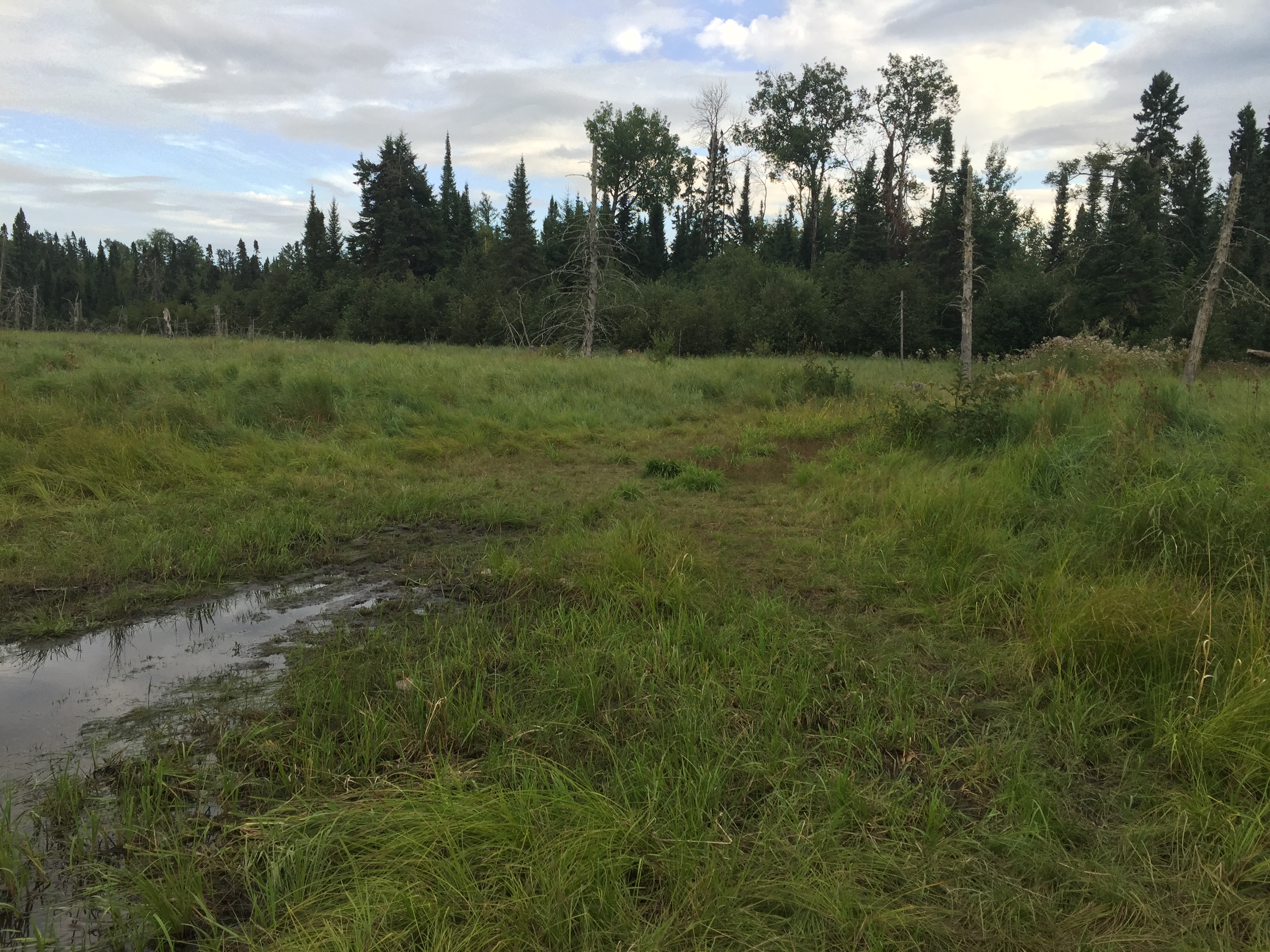
You cross into the BWCA (marked by a sign) about 250 rods along the path. At about the 320 rod (the one mile mark), you will cross a small creek. This is an unnamed creek that is a tributary of Swamp Creek which you will cross a bit later. A really heavy rain may make this crossing more interesting. Just past the tributary, a faint trail crosses the Stuart River portage. This is a winter ski trail. You have to be looking for it to see it. Finally, about 400 rods down the portage (and only about 80 rods from the Stuart River, you will come to the Swamp Creek crossing. During periods of heavy rainfall, this area can be covered with water. The water can reach up to the short boardwalk you cross just before the creek. The last 10 rods of the portage is through the marsh that lines the banks of much of the Stuart River.
View of the Stuart River after you clear the forest.
Now that you've made it over the portage, visit:STUART RIVER
Portaging Direction: From the Stuart River to BWCA Entry Point 19
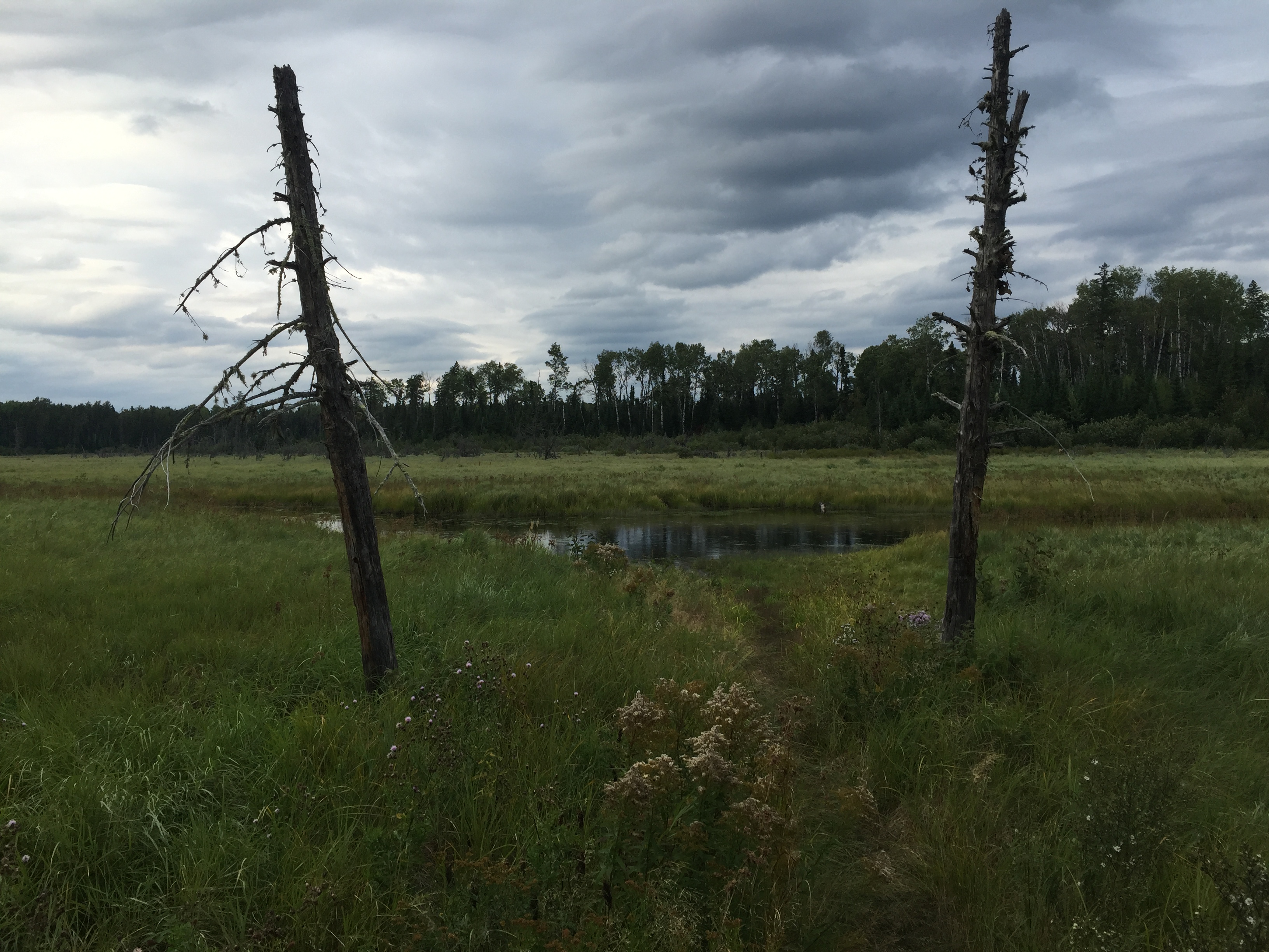
This marsh grassland is typical of much of the Stuart River basin. The portage heads up between those two dead standing trees and into the forest.
Going in this direction, the portage is uphill. You don't need to be a mountain goat as the climb is quite gradual. It's about three or four minutes to the Swamp Creek crossing. Another five minutes further on and you cross an unnamed tributary of Swamp Creek. Just past the unnamed creek, is a faint trail that is used for skiing in the winter. It is hard to notice unless you are keeping an eye out for it. Once past the two creeks, the portage continues its routine of a steady climb. The trail conditions are quite good, with just a few rocks and maybe a fallen tree to step over. Some huge pine trees can be seen along the route.
This marsh grassland is typical of much of the Stuart River basin. The portage heads up between those two dead standing trees and into the forest.