Huge Talus Slope Beneath High Cliff Near Gasket Lake
Click on the photos below to see the full resolution image - Use your browsers back button to close photo and return to this page.

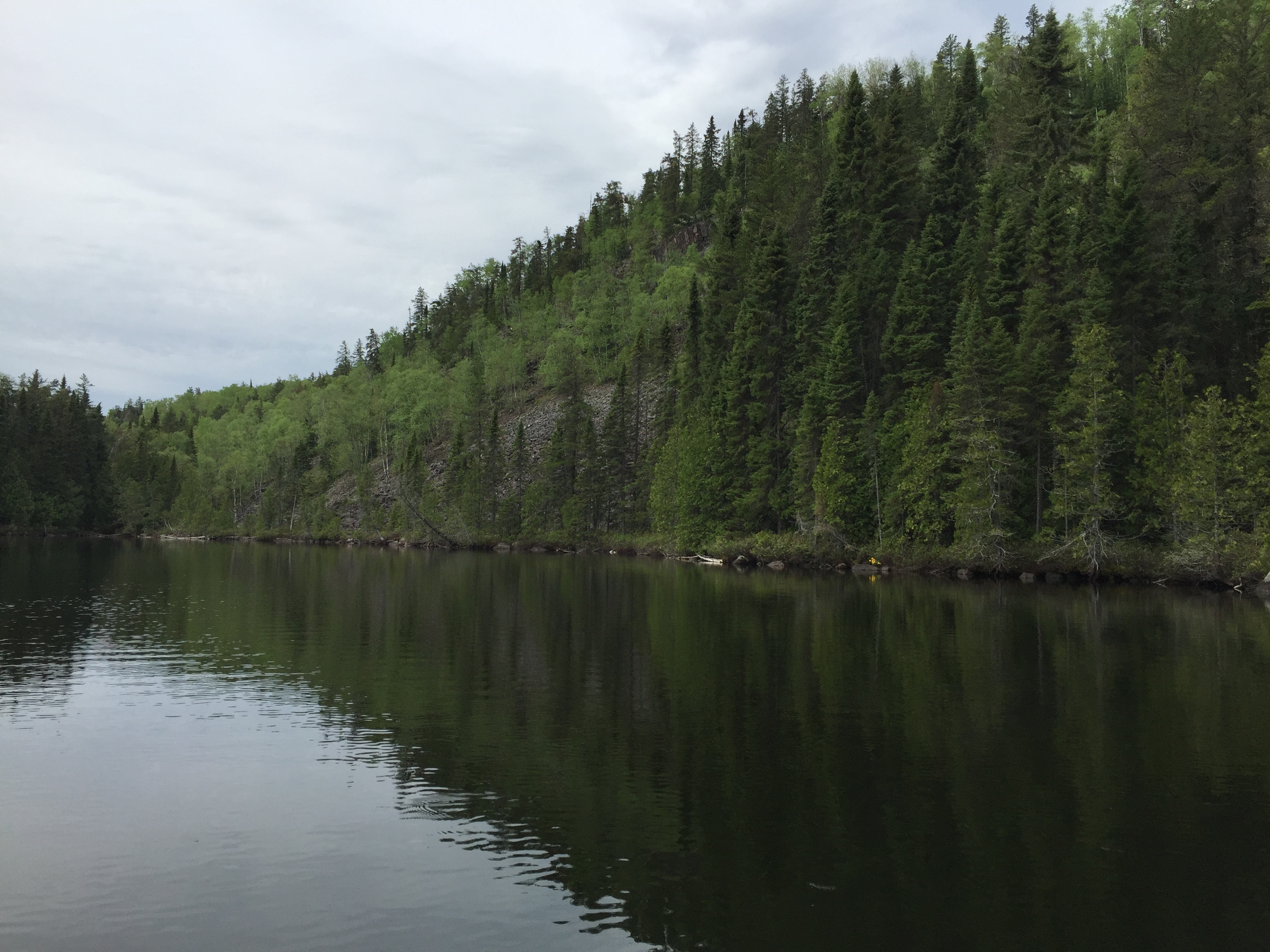
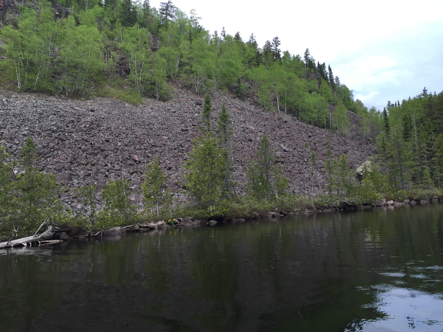
View of the talus slope from north end of Gasket Lake. The talus slope and the high cliff above it are located in the southwest part of the lake.
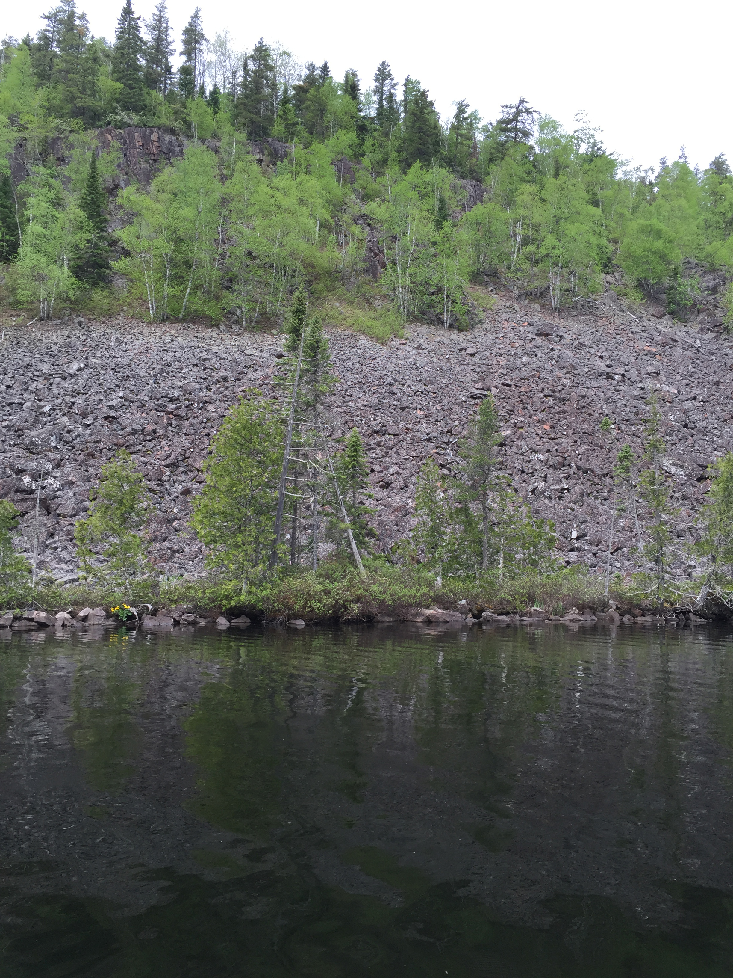
Full view of the talus slope. The hill/mountain that this talus is sloughing off of is one of the highest points in Minnesota.
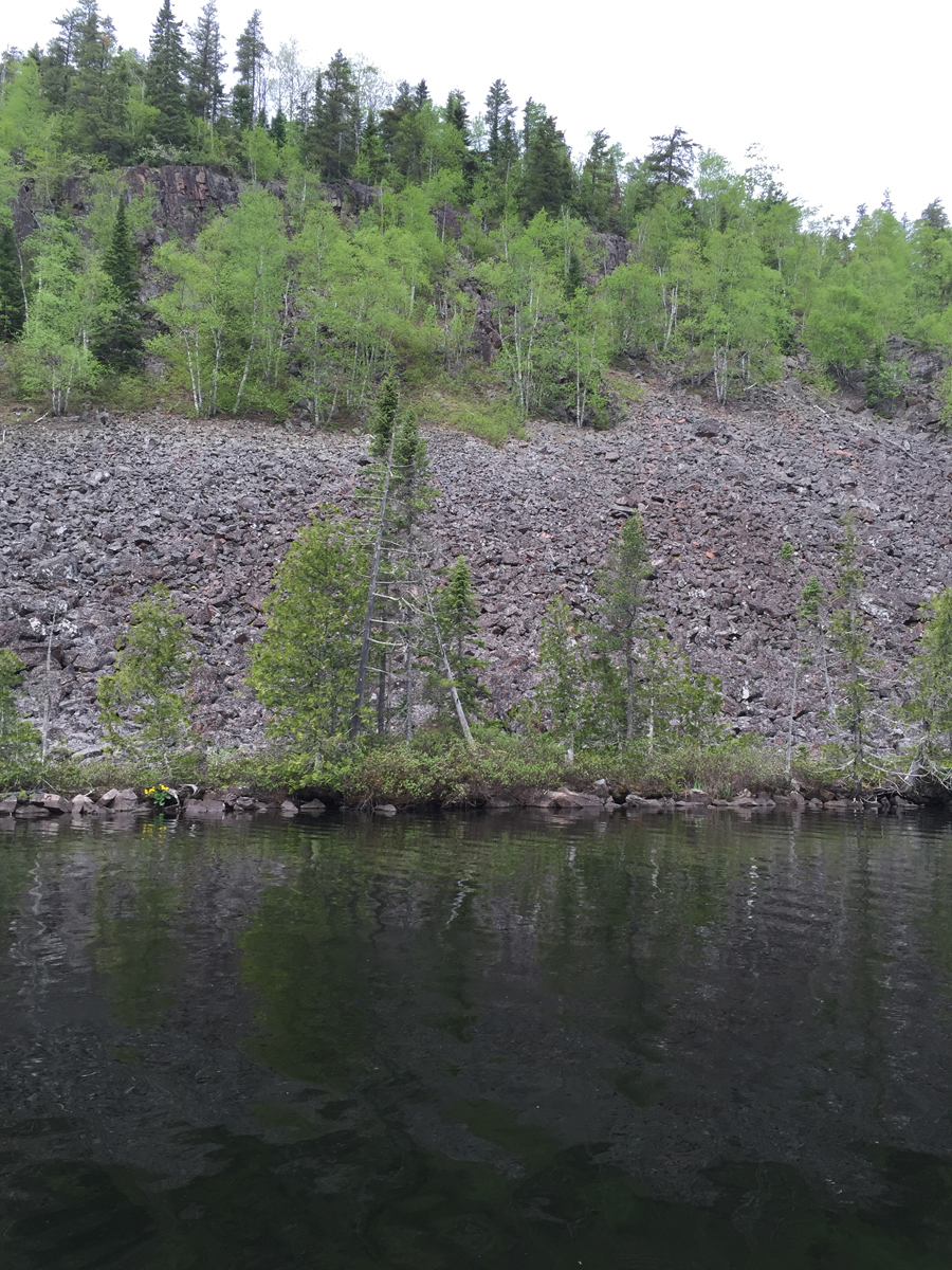
The cliff rises about 230 feet above the surface of Gasket Lake. The height of this small mountain is just over 2,200 feet. The highest point in the State of Minnesota, Eagle Mountain, which is also in the Boundary Waters Canoe Area is 2,301 feet.
Looking toward the northeast. The talus field extends back away from the lake. An aerial view such as that found on a satellite view on Google Maps shows this clearly. There is a similar talus slope to this found on Brule Lake just south of the Cam Lake portage which isn't far from here.
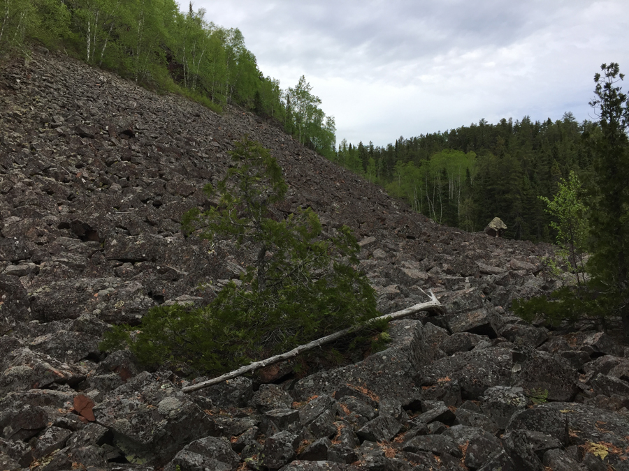
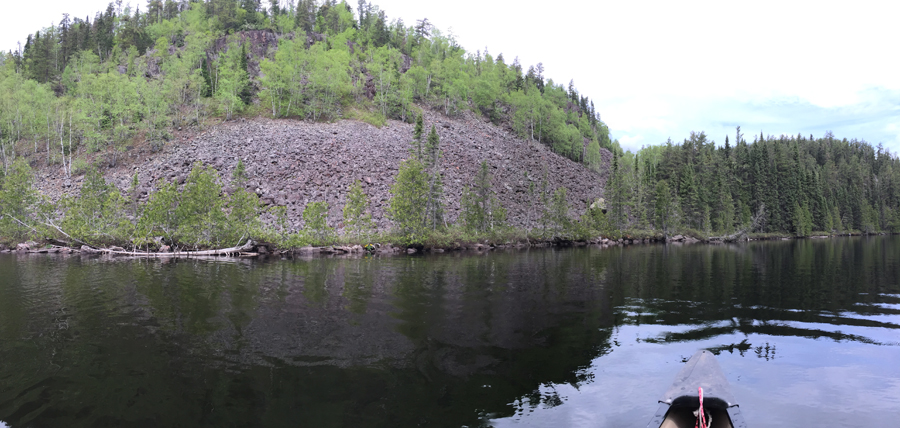
This rock pile is easily accessible from the Gasket Lake to Cam Lake portage.
Return to paddling on: GASKET LAKE
Back to List of BWCA Places
|