Brule Lake Trail Trailhead
Click on the photos below to see the full resolution image - Use your browsers back button to close photo and return to this page.
The actual start of the Brule Lake Trail is located a quarter-mile down the Brule Lake Road (Forest Road 326) from the parking lot.
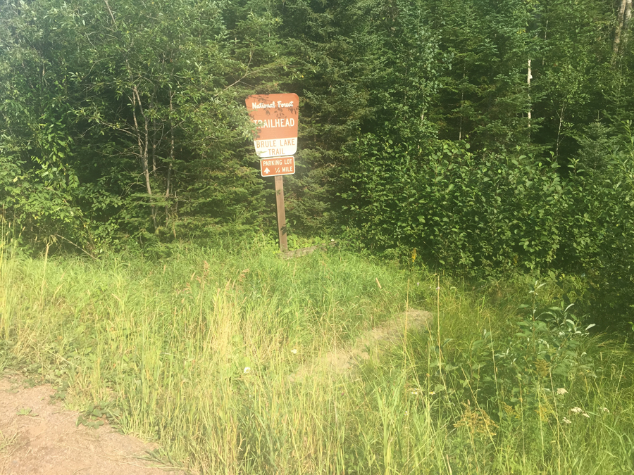
Here is the sign along the road as you drive up the Brule Lake Road to park your car at the entry point parking lot. After you park your car, you have to walk back down the road, about a quarter of a mile, to this point to start the hike.
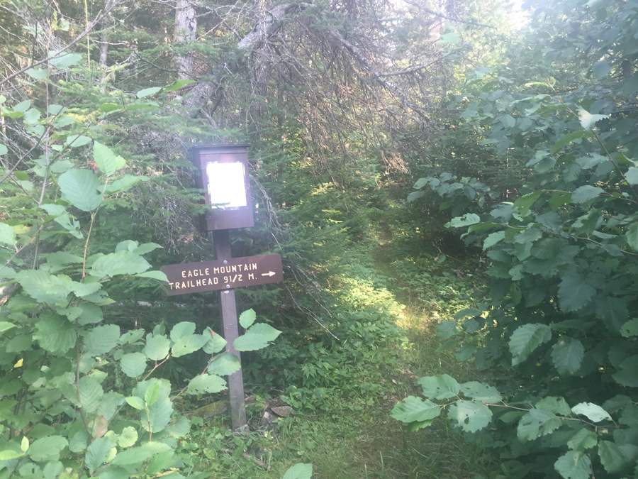
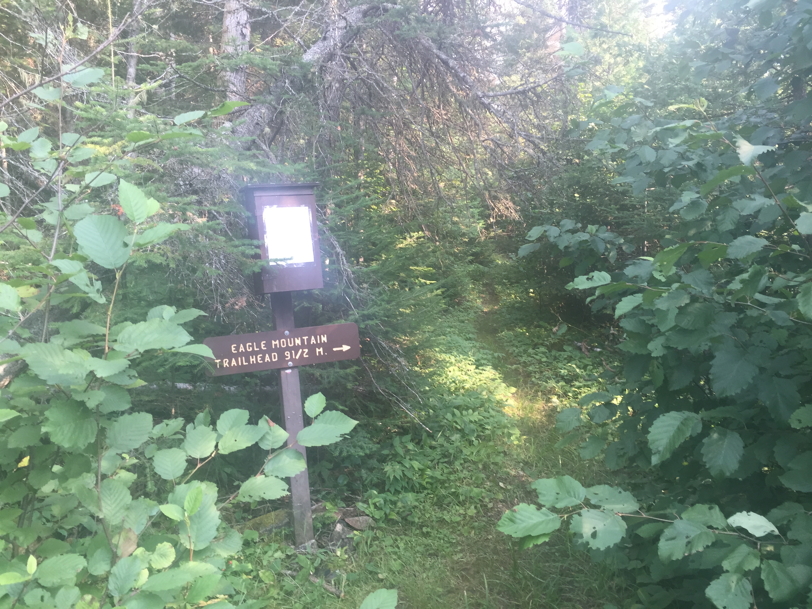
A very short walk into the forest off the Brule Lake Road and you come to this sign. This is the permit box. The sign may be a little confusing. From this point, it is 6.7 miles to the intersection of the Brule Lake Trail and the Eagle Mountain Trail. From that intersection, it is 2.8 more miles to the Eagle Mountain Trailhead, which is in the BWCA Entry Point 79 parking lot. A total of 9.5 miles. Thus, you can through hike both trails.
Return to hiking on: BRULE LAKE TRAIL
Back to List of BWCA Places
|