Jack Lake is a wide section of the Temperance River between Weird Lake to the north and Kelly Lake to the south. On the south end of Jack Lake, as you enter the small bay where the Kelly Lake portage is found, there is a sluice of quick water which requires a little attention from paddlers just north of this portage. The portage of 65 rods to Kelly Lake is easy (a rarity in this part of the BWCA).
High hills rise up to 250 feet above the surface of Jack Lake to the southwest and to the southeast of the lake.
According to the Minnesota DNR, this lake contains a healthy population of walleye (mostly eater sized). Jack Lake also has jack in it too (the Canadian name for the northern pike).
Jack Lake drains a few unnamed lakes located to its east and west while the Temperance River flows from north to south through its basin.
Bill Plouff used to have a cabin on Kelly Lake. He was a silver prospector and had a mine shaft nearby which is still visible today from the Jack Lake to Kelly Lake portage. Nearby Plouff Creek gets its name from the Plouff family. Bill Plouff also did some guide work back in the 1920's and 1930's (Hanson, 2007).
References:
Beymer, Robert, Boundary Waters Canoe Area – Volume 2 – Eastern Region (Berkeley: Wilderness Press, 2006), 58 59, 65, 68, 86.
Pauly, Daniel, Exploring the Boundary Waters (Minneapolis: University of Minnesota Press, 2005), 252, 261.
Click on the photos below to see the full resolution image - Use your browsers back button to close photo and return to this page.
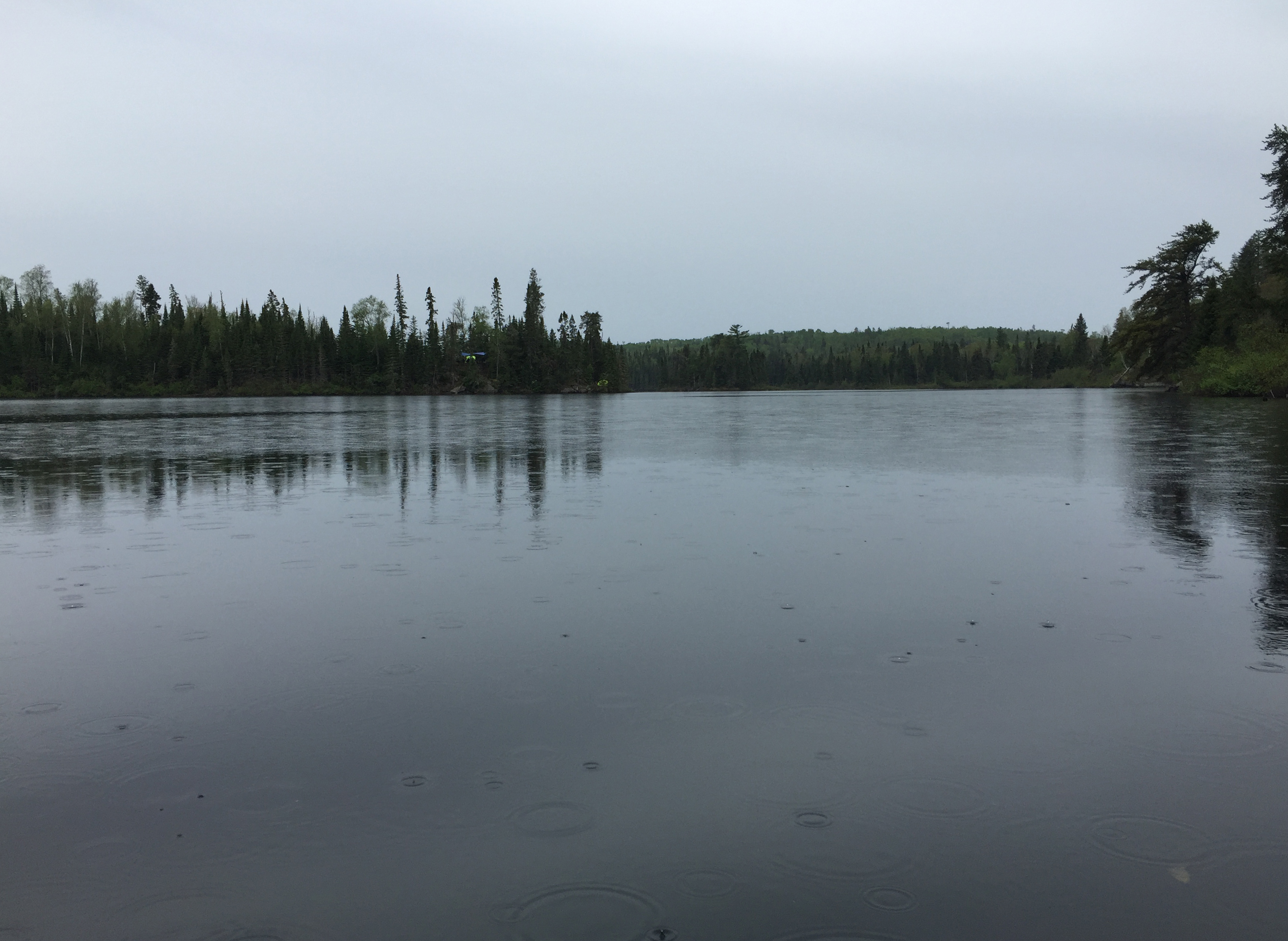
PADDLING SOUTH THROUGH JACK LAKE STARTING FROM THE TEMPERANCE RIVER IN NORTH END OF LAKE
Soon after entering the wider part of Jack Lake, the campsite on the point (which is the south most campsite on the lake) is easily visible in this southern view. The campsite was occupied by a large party. It can be seen just left of center.
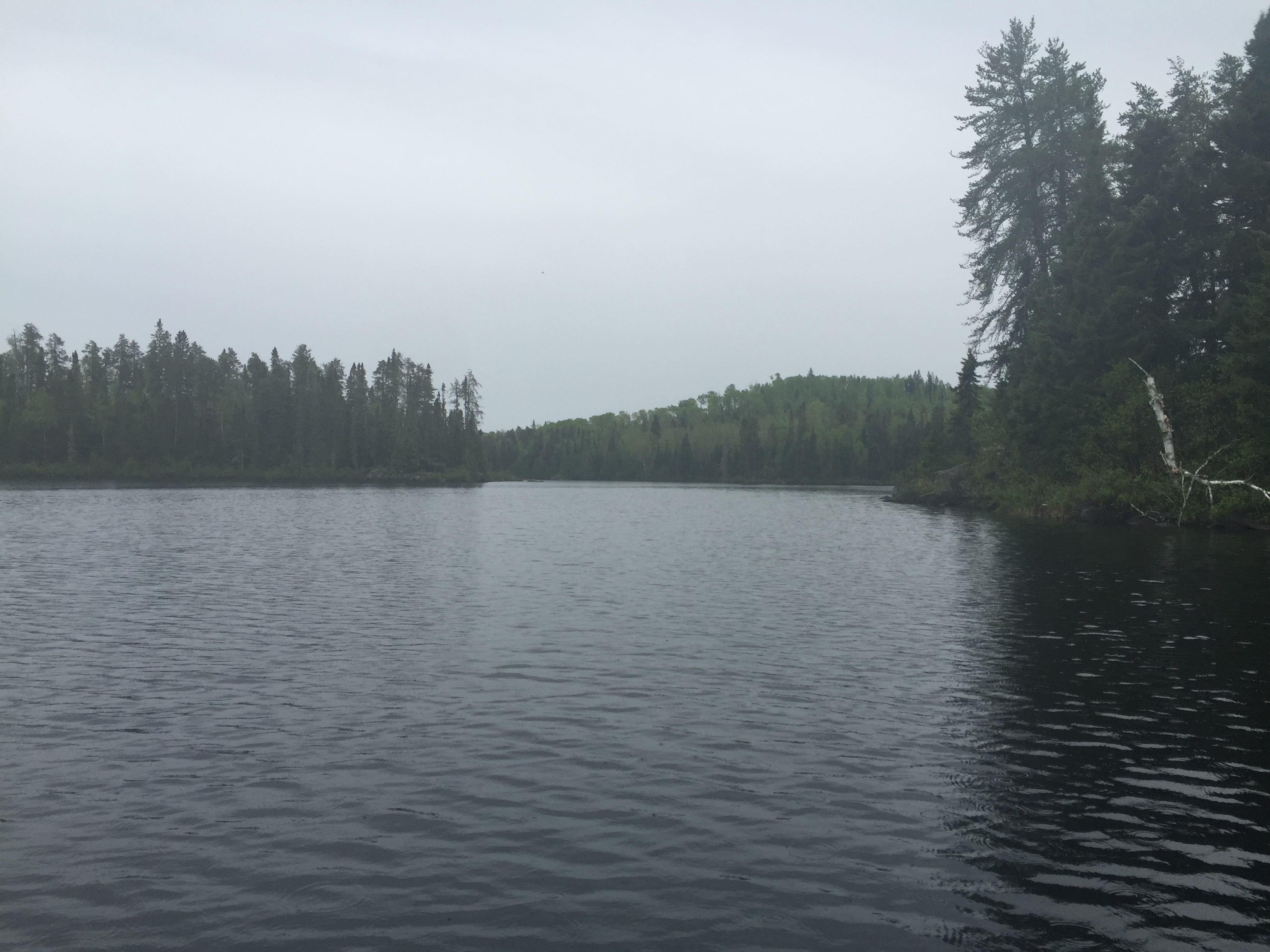
From just south of the campsite on the point, you can see that Jack Lake starts to narrow again as you look ahead.
Paddling from the north end of Jack Lake just after leaving the Temperance River, southward toward the Kelly Lake portage. The paddle takes you between the two large islands in the north end of the lake. (Video ends early about 1/3rd mile north of the Kelly Lake portage - you can see this part of the lake in the photos below.)
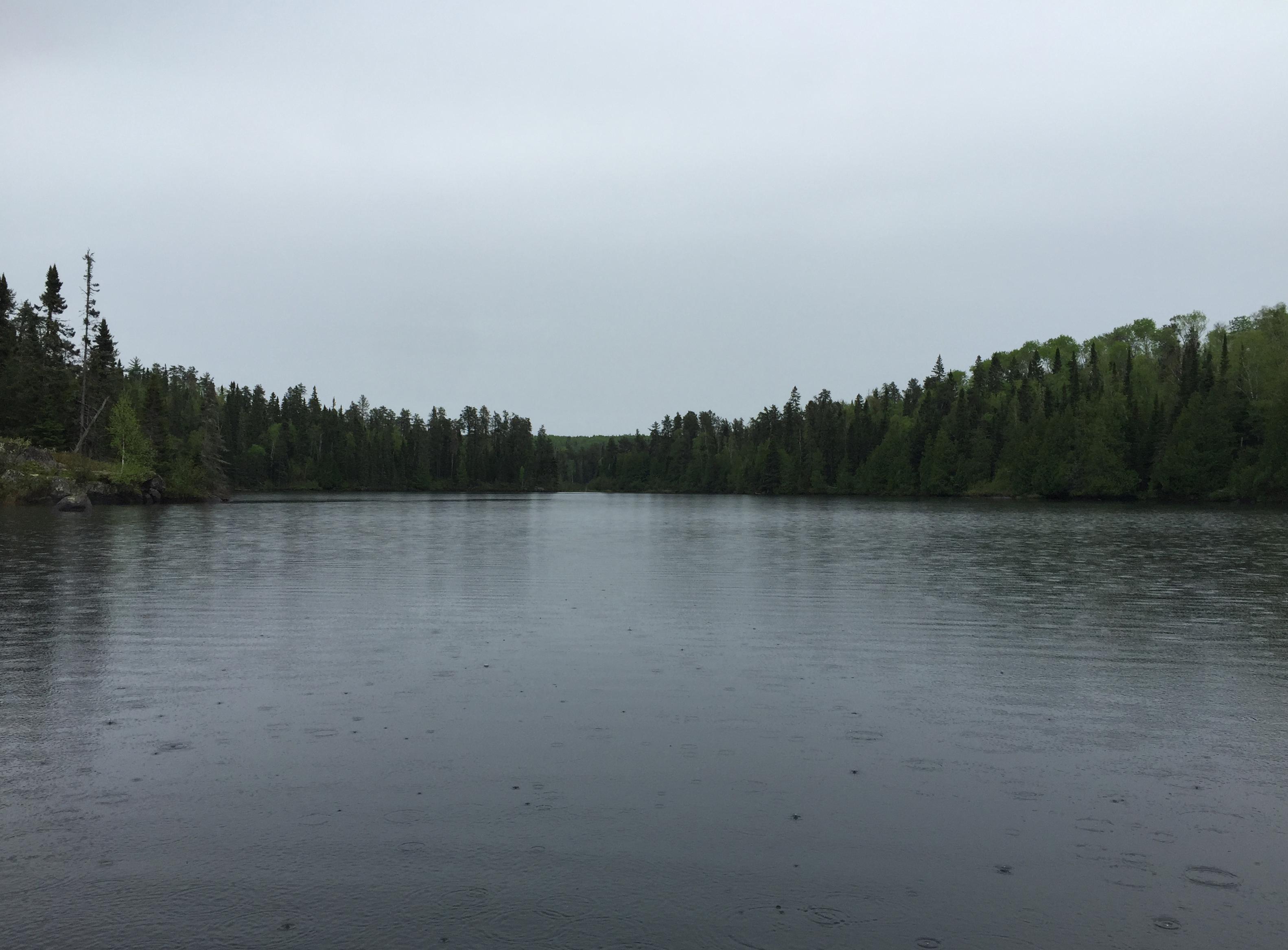
The narrow notch in the distance (looking south) is the location of some moving water which will require some minor navigation skills to get through to avoid hanging up your canoe on an underwater boulder.
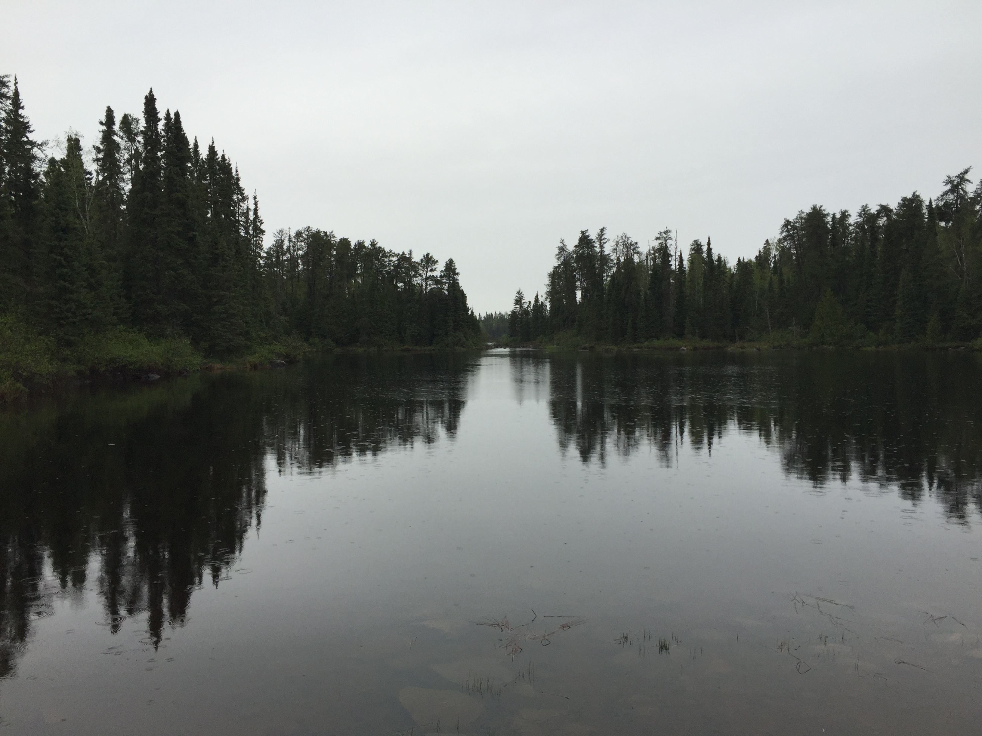
You are standing at the south end of Jack Lake, at the start of the Kelly Lake portage. The view is to the north. The notch you passed through just before arriving at this portage, where you found some quick water, is in the center of your view.