FERN LAKE CAMPSITES:
Campsite 1 (#499): This campsite may not exist (could not find it in 2020)
About 70% of the shoreline of this lake is recent burn area (Cavity Lake Fire of 2006). There are a few groves a trees along the rest of the shoreline. The campsite in the eastern part of the lake along the north shoreline was not visible from the water (didn't see it anyway--could be there).
The only gamefish in Fern Lake are lake trout. That is true for several other lakes in this area like French Lake, West Fern Lake and Gillis Lake among others. These lakes are cold and deep, some well over 100 feet in depth.
The portage to Gillis Lake is interesting. The beavers regularly flood the Fern Lake end of the portage. So you will more than likely have to trudge through some water for about the first 5 rods of the portage. After that, the portage is very easy. The portage to French Lake is standard BWCA fare.
Fern Lake is fed water from French Lake. Fern Lake in turn drains out its eastern end into Gillis Lake.
References:
Pauly, Daniel, Exploring the Boundary Waters (Minneapolis: University of Minnesota Press, 2005), 330, 333.
Click on the photos below to see the full resolution image - Use your browsers back button to close photo and return to this page.
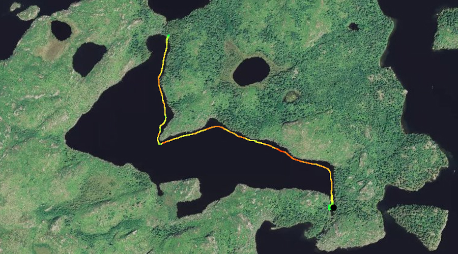
PADDLING FROM THE GILLIS LAKE PORTAGE TO THE FRENCH LAKE PORTAGE
Beaver dam blocking the creek (and flooding the portage) that flows from Fern Lake to Gillis Lake.
Paddling from the Gillis Lake portage along the north shoreline of Fern Lake, to the French Lake portage.
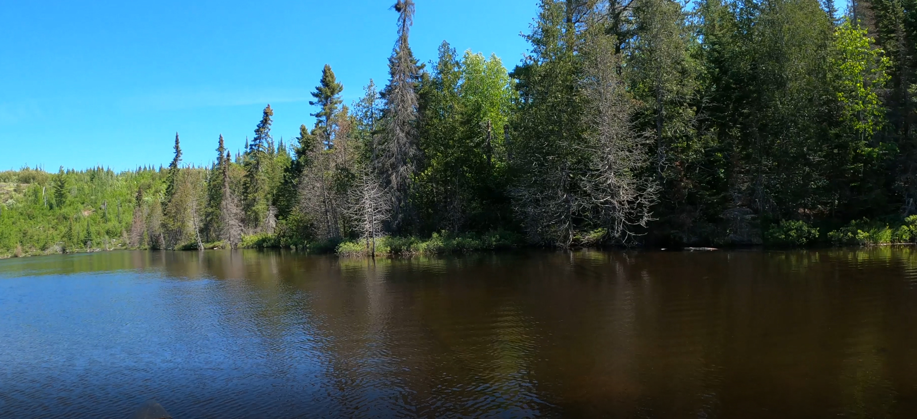
View toward the north along the shoreline of the far eastern end of Fern Lake.
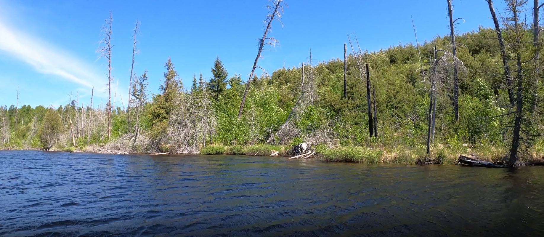
A typical view of the recovering forest along the north shore of Fern Lake.
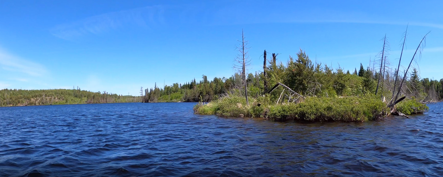
This is the tip of the sharp point that sticks out from the north shoreline of Fern Lake. You are looking to the north. Portage to French Lake -or- Explore Another Route **********************************************END OF ROUTE***********************************************