Creek Length: From its source at Dawkins Lake to its mouth at Cross Bay Lake, the creek is about 1.6 miles long.
Campsites: 0
Wildlife Seen on Visit: Waterfowl
Last Visited: May 12, 2016
Creek Elevation: Headwaters at Dawkins Lake at about 1779 feet. Mouth at Cross Bay Lake at 1708 feet. Average of 44 feet per mile of elevation loss.
Water Clarity: N/A
ROUTES/PORTAGES FROM DAWKINS CREEK:
To Cross Bay Lake: Paddle In
To Dawkins Lake: Virtually impassable bushwhack
Dawkins Creek
Gunflint Ranger District
This short creek begins at Dawkins Lake and flows just over 1.5 miles to empty into Cross Bay Lake. The creek can be paddled easily up to the first waterfall, a natural barrier. Going beyond that waterfall would require extreme effort to eventually reach Dawkins Lake. Note, that there used to be a trail that led from Rib Lake's northeast corner out to Dawkins Lake. It was known logically as the Rib Lake Trail. That old trail used to be passable all the way northeast to the Gunflint Trail near the west end of big Loon Lake. It connected to several other trails (probably formed during the logging era) that headed farther east and south.
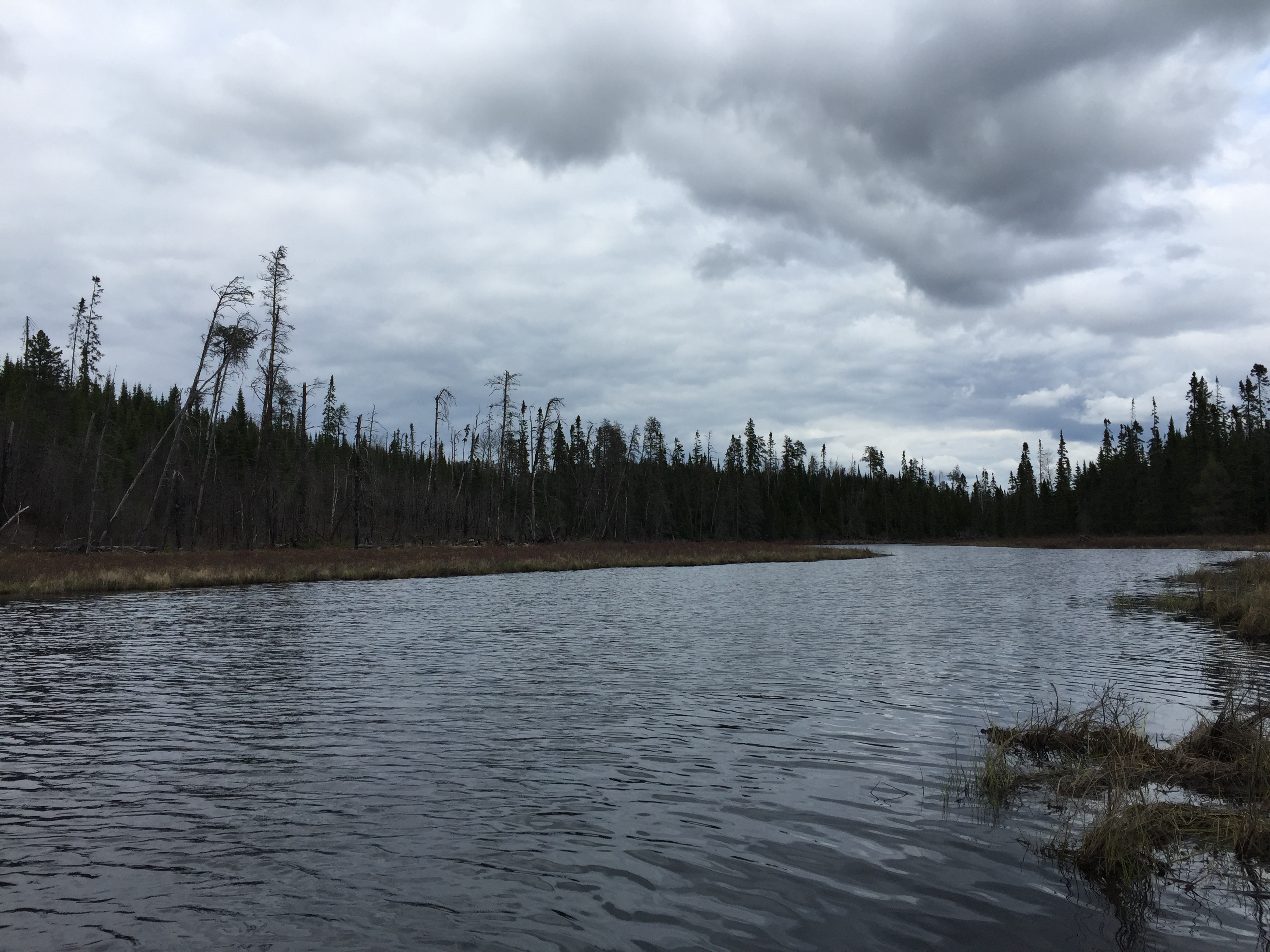
A fairly recent fire left scars on the north bank of Dawkins Creek near to where it flows into Cross Bay Lake. Not certain as to the extent of this fire or what year it occurred. It is not part of the Ham Lake fire that occurred just northwest of here.
Click on the photos below to see the full resolution image - Use your browsers back button to close photo and return to this page.
PADDLING DAWKINS CREEK UPSTREAM FROM CROSS BAY LAKE TO THE FIRST NATURAL BARRIER
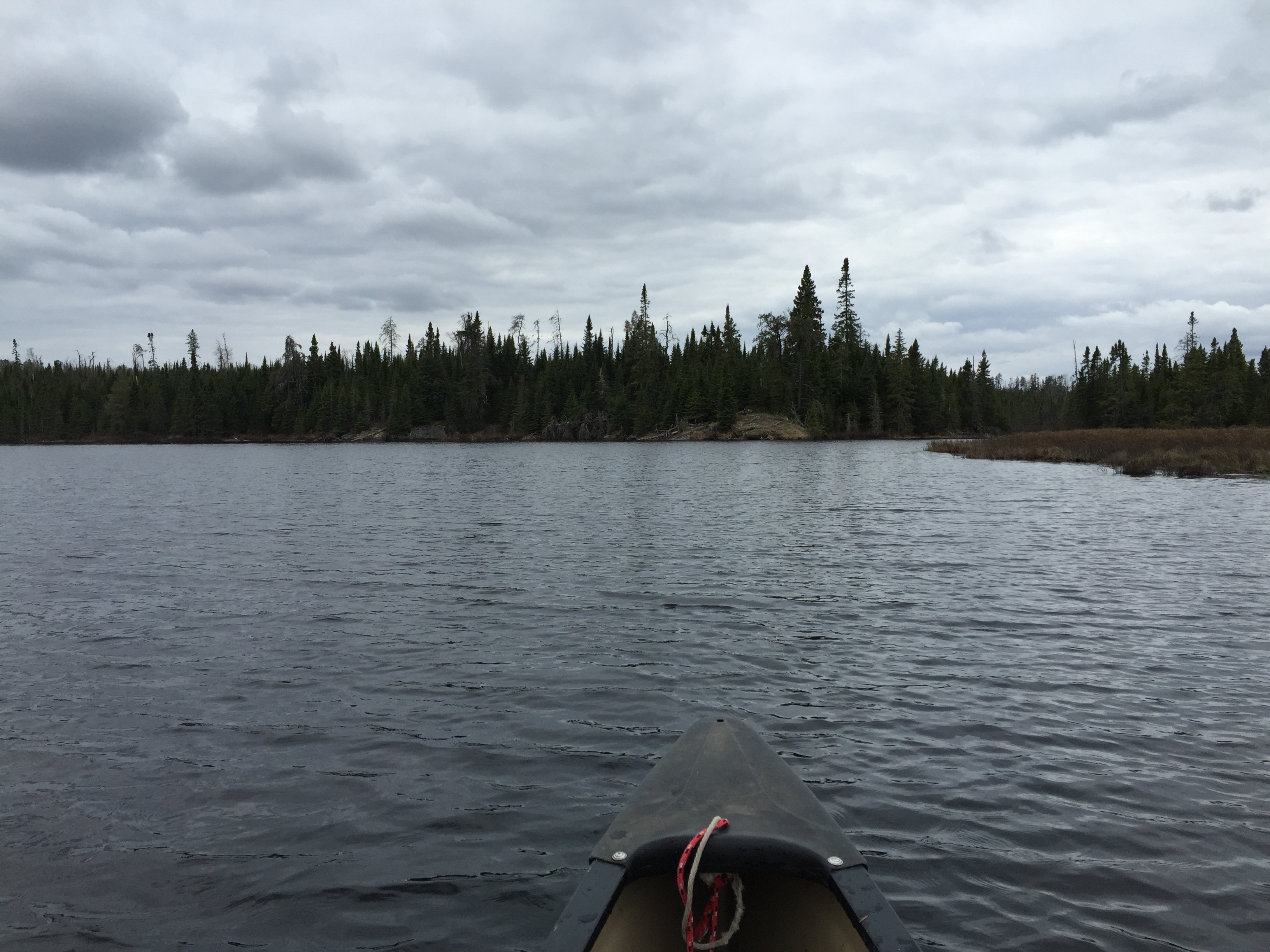
The mouth of Dawkins Creek as seen from Cross Bay Lake.
Looking east, upstream, along Dawkins Creek. This is not far upstream from the creeks mouth at Cross Bay Lake.
A relatively short paddle from Cross Bay Lake up Dawkins Creek to the first natural barrier. It will take some serious bushwhacking to go farther upstream from here. The frogs were peeping happily during this early spring paddle.
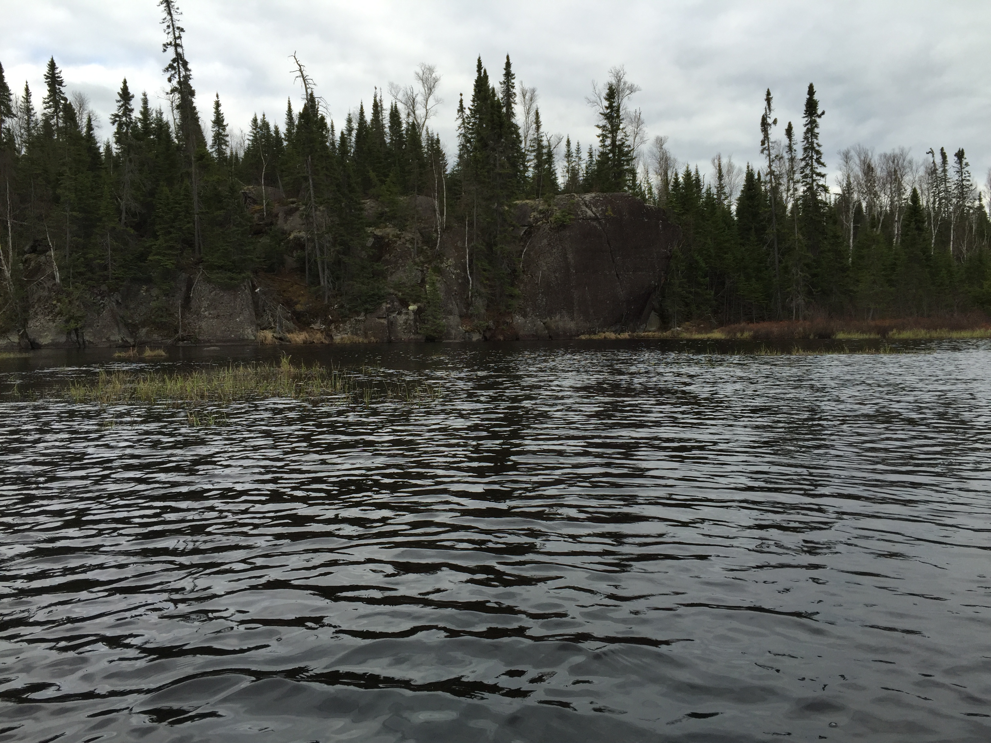
Just under a half-mile upstream from Cross Bay Lake, you see this cliff where the creek makes a sharp turn.
Just east of the cliff and about a half-mile upstream from Cross Bay Lake, this tumble of logs and brush block the creek. The creek pours over a small rapids between two rock walls. If you want to continue further upstream, travel will be much more difficult from this point.
PADDLING DAWKINS CREEK DOWNSTREAM FROM THE FIRST NATURAL BARRIER TO CROSS BAY LAKE
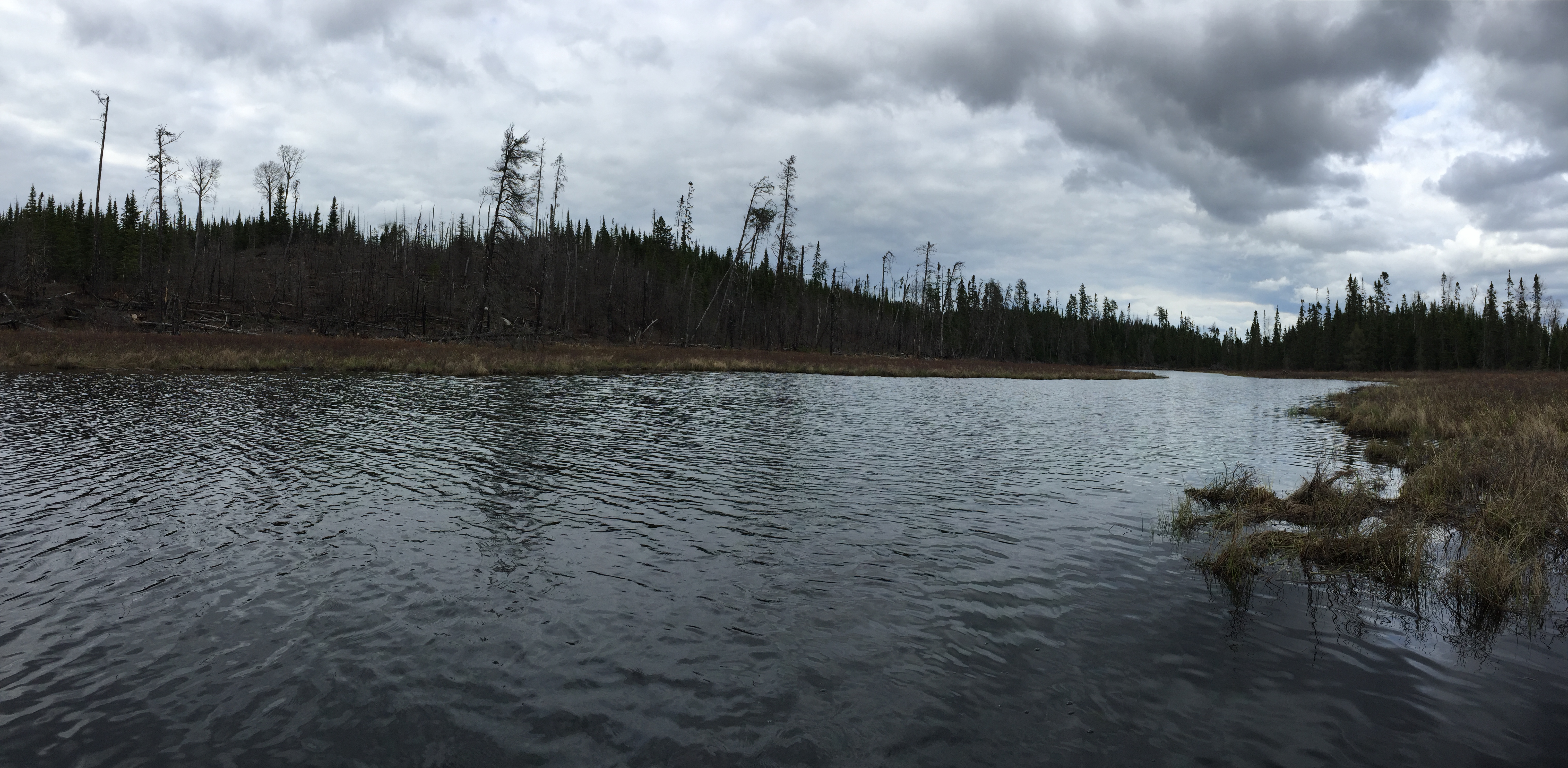
Paddling downstream from the first natural barrier on Dawkins Creek to its mouth at Cross Bay Lake. The frogs are in full throat, as this is early spring.
A burned area along the shoreline of Dawkins Creek. This is near its mouth at Cross Bay Lake.